
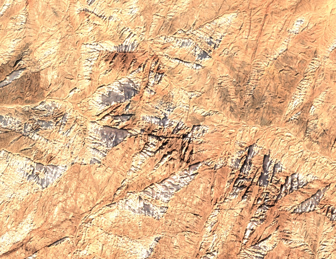
Precambrian Granitoids and Pan-African Mineralogy
A 2009 geochemical study published through United Arab Emirates University distinguishes two broad rock groups in the massif. Older quartz diorite and granodiorite form the country rock, while two successive phases of younger granitoids intruded during the Pan-African orogeny. Field and mineral evidence support a partial-melting interpretation for the younger phases specifically, a finding the authors apply to those intrusions rather than to the broader Sinai basement.
Wadi Systems and Biodiversity Designation
The Key Biodiversity Areas factsheet for the St Katherine Protectorate records deeply incised regional wadis cutting through the ancient bedrock across this part of southern Sinai. These drainage channels structure the local ecology and contributed to the area's formal KBA designation, which recognises the protectorate's peaks and wadi corridors as a unit of conservation significance.
Byzantine Monasteries of Deir Antush and Deir Rumhan
The Egyptian Environmental Affairs Agency records two Byzantine monastic sites in the Gebel Umm Shomar area. Deir Antush preserves a granite-built church and six hermit cells arranged around a spring. Deir Rumhan, described as a waystation for pilgrims travelling from El-Tur, retains orchards, stone pools, and Greek inscriptions. Both sites occupy the mountain area rather than the summit.