
Ridge Country and River Corridors
The park spans Taraba and Adamawa states. Nigeria’s World Heritage Tentative List submission describes mountain grasslands and cloud forests on parts of the Cameroon Volcanic Line. The National Park Service records river valleys, savannas and lowland rainforest elsewhere in the park.
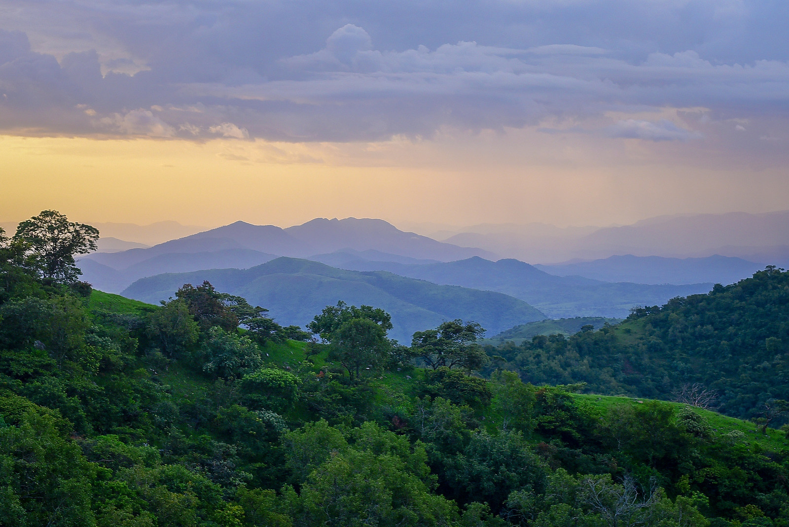
The Gashaka and Mayo Cam are among the rivers that drain this country. The sharp changes in elevation bring several habitats close together. In Dotun55’s 2019 photograph, the wooded hills of the Taraba sector recede toward the border.
From Game Reserves to National Park
The area was first protected as two game reserves established in the 1970s. They became a single national park in 1991. Nigeria filed a World Heritage Tentative List submission for the park on 25 September 2025.
The Gashaka Primate Project helped survey parts of the park boundary. In 2009, its team finished an initial phase of placing markers along several hundred kilometres. Its report describes training park staff to use satellite maps alongside the markers.
Field Research at the Savanna–Forest Mosaic
In a thesis published in 2020, Gonçalo Oliveira Paulino de Jesus brought together observations from 2002 to 2014 in the Gashaka-Kwano area. He used the long record to examine how rainy and dry seasons shape fruit production and the behaviour of primates in a landscape of forest and savanna.
The study examined a group of Nigeria–Cameroon chimpanzees and two troops of baboons. One troop fed on wild food and the other also ate cultivated crops. The comparison let researchers examine how primates used the landscape as food changed with the season.