
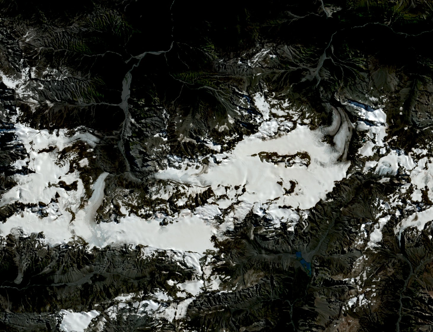
Extent and Topography
The Alpine Club measures about eight kilometres along the Garden of Allah and the adjoining Lambert Snowfields. A 2020 study places the Garden of Allah and its neighbour, the Garden of Eden, on separate rock plateaus at about 1,900 metres. Their ice drains through valley glaciers and over steep icefalls. Newton Peak, the highest peak in the local group, reaches 2,543 metres.
The New Zealand Gazette records the name Garden of Allah in a 1971 Geographic Board decision. The Alpine Club’s route descriptions distinguish the two fields by the intervening cols and record the peaks that rise beside them.
Rock Avalanche, Conservation and Climbing
Oliver Korup’s 2005 survey reports a rock avalanche that spread debris onto Beelzebub Glacier in the upper Adams catchment. It fell after 1980 and its debris already lay across the ice in a 12 February 1984 aerial photograph. The dark patch on the otherwise pale ice helped researchers reconstruct the extent and shape of the deposit.
In May 2003 the New Zealand Gazette declared the Adams Wilderness Area, which includes the Garden of Allah. The Department of Conservation describes the two ice fields as the core of the roughly 46,587-hectare protected area. In 2008, Jamie Vinton-Boot published an account of the first ascent of the route ‘Tears of Allah’ on the north face of Newton Peak’s West Peak.
Measuring the Glacier Surface
The 2020 study used a cloudless 14 March 2016 Sentinel-2A image to identify 17 glacier outlets from the two ice fields. The researchers compared the share of incoming light reflected by the surface, called albedo, in 12 glacier units using MODIS imagery from 2000 to 2018. Steep, shaded southern outlets formed a different topographic group from the broader outlets facing north and east.