
First Ascent and Summit Parties
On 6 May 1965, six climbers from the German Himalayan Expedition reached the summit of Gangapurna: Günter Hauser, Ludwig Greissl, Hermann Kollensperger, and Erich Reismüller, joined by Ang Temba Sherpa and Phu Dorje Sherpa. A second party followed two days later, on 8 May, completing the expedition's summit success across back-to-back ascents within a single week. The climb was documented in the Himalayan Journal as part of a detailed expedition report covering logistics, conditions, and the character of the terrain above the southern approach.
The 1965 expedition's account establishes these two summit days as the opening chapter of Gangapurna's climbing history, a record that the Himalayan Database preserves under the peak identifier GANG. Ang Temba Sherpa and Phu Dorje Sherpa are named among the summit party alongside the German team members.
Southern Approach and the Eastern Annapurna Glacier
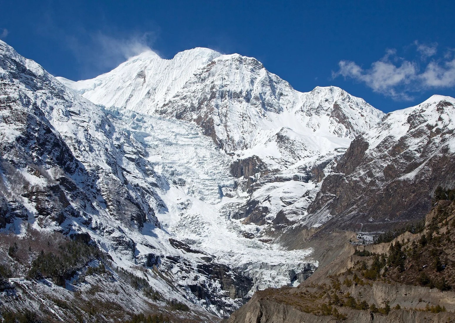
The first ascent report describes the approach as following the southern flank of the mountain via the Eastern Annapurna Glacier. Within this glacial corridor, the 1965 team encountered a sequence of distinct terrain features: a lower icefall, a rock buttress, and a couloir that together structured the upward route. These observations represent a dated snapshot of conditions in the southern basin as recorded by the first expedition, and should be understood as historical description rather than a current account of glacier morphology.
The expedition also recorded the presence of an ice lake, which the climbers attributed to glacier movement along the upper course of the southern basin. This feature, noted in the original report as a consequence of active glacial dynamics, is distinct from the lake that shares the mountain's name near the town of Manang to the north of the massif. The two should not be conflated: the ice lake described in the 1965 report belongs specifically to the southern glacial approach documented during the first ascent.
Position Within the Annapurna Himal
Gangapurna is recognised as a distinct summit within the Annapurna Himal of Nepal. The Nepal Department of Tourism and the Himalayan Database both record the summit elevation as 7,455 metres.
Gangapurna's first ascent in 1965 was approached from the south via the Eastern Annapurna Glacier. The village of Manang lies to the north of the range, on the opposite side of the high climbing terrain of the southern basin.
Official Peak Record
The mountain is recorded as Gangapurna, the spelling used in the Himalayan Journal's account of the 1965 German expedition and carried forward in the Himalayan Database record. The Nepal Department of Tourism and the Himalayan Database both use this spelling. The peak's classification as a distinct summit, rather than a subsidiary point of Annapurna or one of its numbered satellite peaks, is affirmed by both the government record and the Himalayan Database, which assigns it the independent identifier GANG.