
Summit and the 2013 GPS Reading
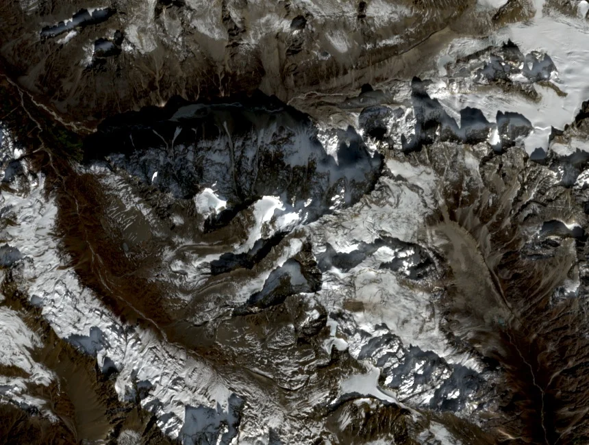
Andy Tyson's party, which included Pyae Phyo Aung, reached the summit on 7 September 2013 and recorded 5,870 m by GPS. That figure is 11 m below the traditionally cited 5,881 m associated with the Hkakabo Razi massif, a difference Tyson's report attributes to a comparison between measurement methods.
Geology and Vegetation on the Approach
Tyson's field notes describe schist on the lower flanks giving way to granite near 5,500 m. At roughly 4,600 m the party entered open alpine vegetation above a zone of rhododendron terrain encountered lower on the route. The approach proceeded via Tahawndam and continued along the glacier toward the summit ridge.
The Rawang Name
Razi is a Rawang word meaning mountain, used across peaks in the northern Kachin ranges. Tyson's report offers a probable connection between Gamlang and the Gamlang river or a nearby pass, noting this as a suggestion rather than a confirmed etymology.