
Karst Geology and Water Movement
The management plan for Galičica National Park maps Triassic carbonate rocks across much of the massif. Lake Prespa lies at around 850 m, above Lake Ohrid at around 695 m. Published research by Matzinger and colleagues, in Hydrobiologia, documents part of Lake Prespa's water passing through the permeable mountain together with infiltrated precipitation and reaching Lake Ohrid. The St Naum springs, on the Ohrid shore, are one outlet of that system.
National Park and Botanical Records
An area on the North Macedonian side of the massif received national park designation in 1958. Vouchered botanical collections recorded in Willdenowia include specimens of Siler zernyi subsp. ochridanum collected on the limestone slopes, including rocky spots near the locality of Magarilo.
The Park Between the Ridge and Lake Prespa
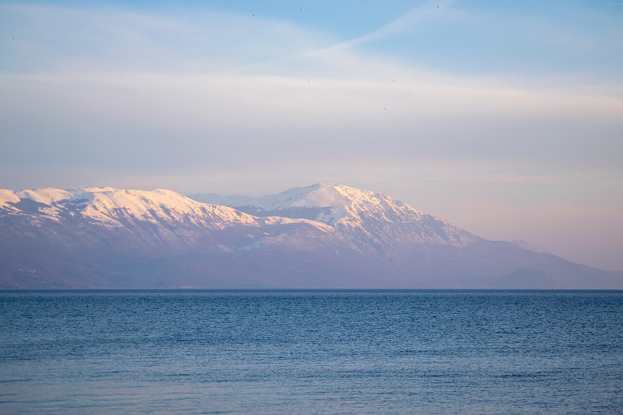
Lake Ohrid lies to the west of the ridge and Lake Prespa to the east. The national park also encompasses the island of Golem Grad in Lake Prespa and parts of the Istok and Petrino branches of Galičica. The photograph shows the view from Struga across Lake Ohrid toward Galičica.