
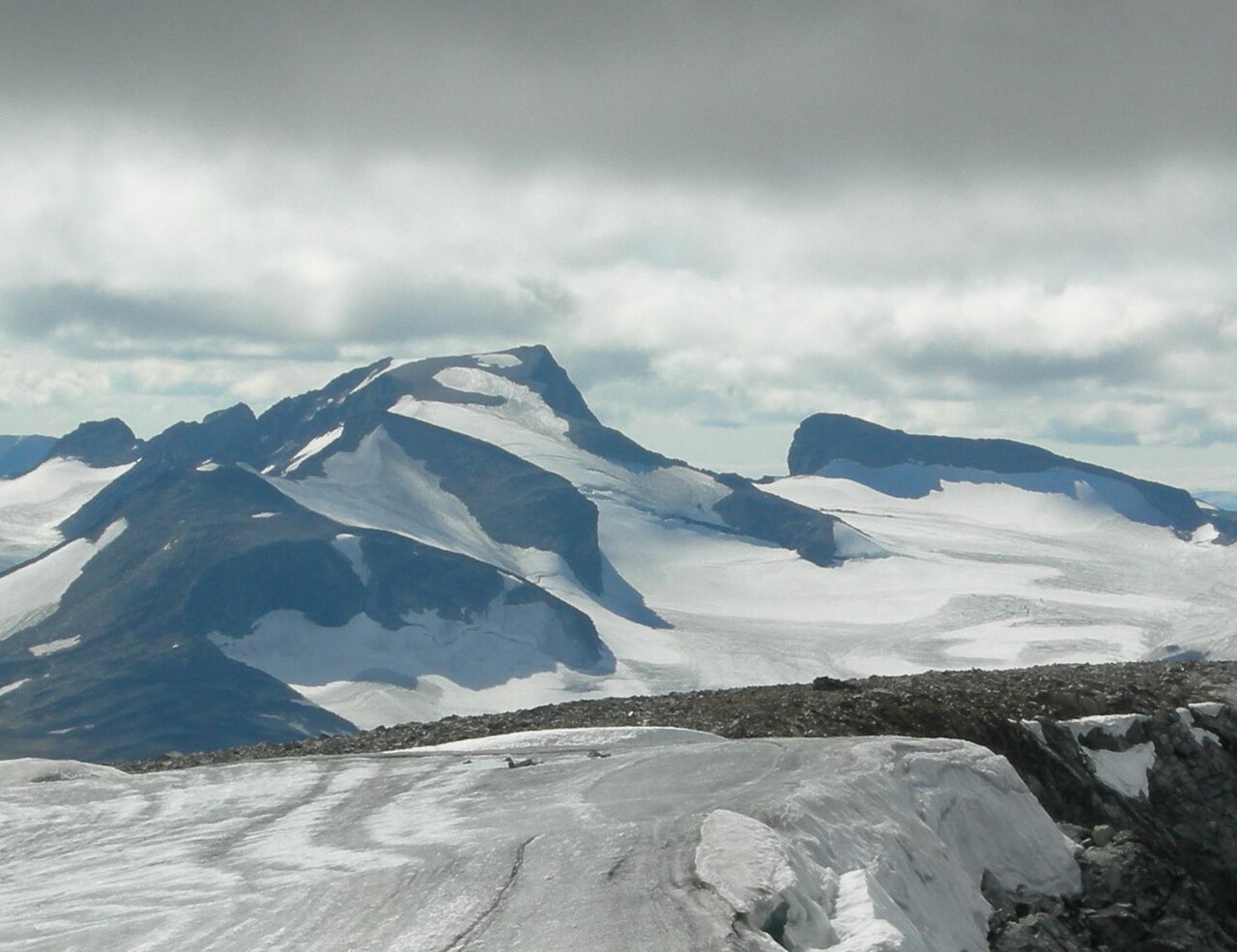
Elevation and the Glittertinden Comparison
Store norske leksikon and Jotunheimen National Park give Galdhøpiggen an elevation of 2,469 metres. Historically, assessments that included Glittertinden's snow cornice placed that peak above Galdhøpiggen in height, and measurements taken from bedrock alone put Galdhøpiggen higher. The Norwegian geographic record uses bedrock as the standard, which gives Galdhøpiggen its rank as the highest mountain in Norway.
Recorded Ascents and Early Climbing History
The first recorded ascent of Galdhøpiggen took place in 1850, when Steinar Sulheim, Ingebrigt N. Flotten, and Lars Arnesen — all from Lom — reached the summit from Spiterstulen. Store norske leksikon documents this as the founding entry in the mountain's climbing record. In 1844, the geologist Keilhau reached a forepeak without attaining the main summit, establishing that organized efforts preceded the successful 1850 party by several years.
In 1856, Rønnaug Sulheim became the first woman recorded to have climbed Galdhøpiggen. Store norske leksikon identifies her as the daughter of Steinar Sulheim, one of the three men who made the first ascent six years earlier. Her climb came within the mountain's earliest decade of recorded climbing history, completing a documented sequence of three events — 1844, 1850, and 1856 — from which subsequent accounts of the mountain's mountaineering history proceed.
Two Approaches and Their Terrain
Jotunheimen National Park distinguishes two principal approaches to the summit. The route from Spiterstulen in Visdalen ascends without glacier travel, and the approach from Juvasshytta crosses the Styggebreen glacier, which the park identifies as a defining feature of that route. These two lines of ascent differ materially in the landforms they cross, giving the mountain a geographic duality built into how it is described and reached.
Juvfonne and the Archaeology of Ice
Adjacent to Galdhøpiggen, the Juvfonne ice patch has become a site of scientific and cultural significance. The Klimapark 2469 project uses Juvfonne to investigate permafrost processes and the archaeological record preserved within and beneath the ice. Prehistoric hunting artifacts have been recovered from the site, connecting the high terrain of Jotunheimen to human activity extending back thousands of years.
As Juvfonne has contracted, objects have emerged that provide evidence of seasonal hunting activity in the high mountains during prehistoric periods. The climate park frames this archaeological dimension alongside scientific monitoring of permafrost, treating the ice as a repository whose contents document a long human relationship with Jotunheimen's highest terrain.