
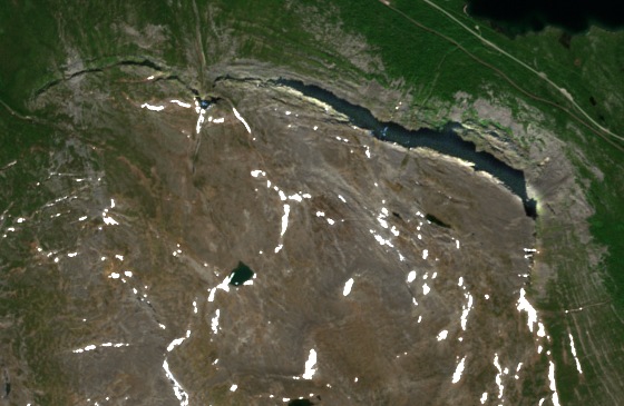
The Caledonian Overthrust
A notch visible in the cliff marks the boundary of a sheet of rock pushed over the bedrock below it. The Geological Survey of Sweden traces that movement to the collision of the continents Baltica and Laurentia more than 400 million years ago, when rock sheets were pushed east across the edge of Baltica.
Ice-Margin Channels and Lake Terraces
The Swedish Environmental Protection Agency mapped meltwater channels on the north slope and a slope of loose rock beneath the cliff. In the neighbouring valley of Pessisjåkkas, twelve terraces mark successive levels of a lake once held between the mountains and the ice in the Torneträsk basin.
Arête la Niehku, February 2020
On 22 February 2020, Krister Jonsson and Anna Backlund climbed a five-pitch line called Arête la Niehku on the far left of the northeast face. Their American Alpine Journal account describes a route on rock, mixed ice and snow, finishing at a snow cornice. Kiruna Municipality distinguishes the cliff of Gáisebákti from the summit point, Gáisevárri, above it.