
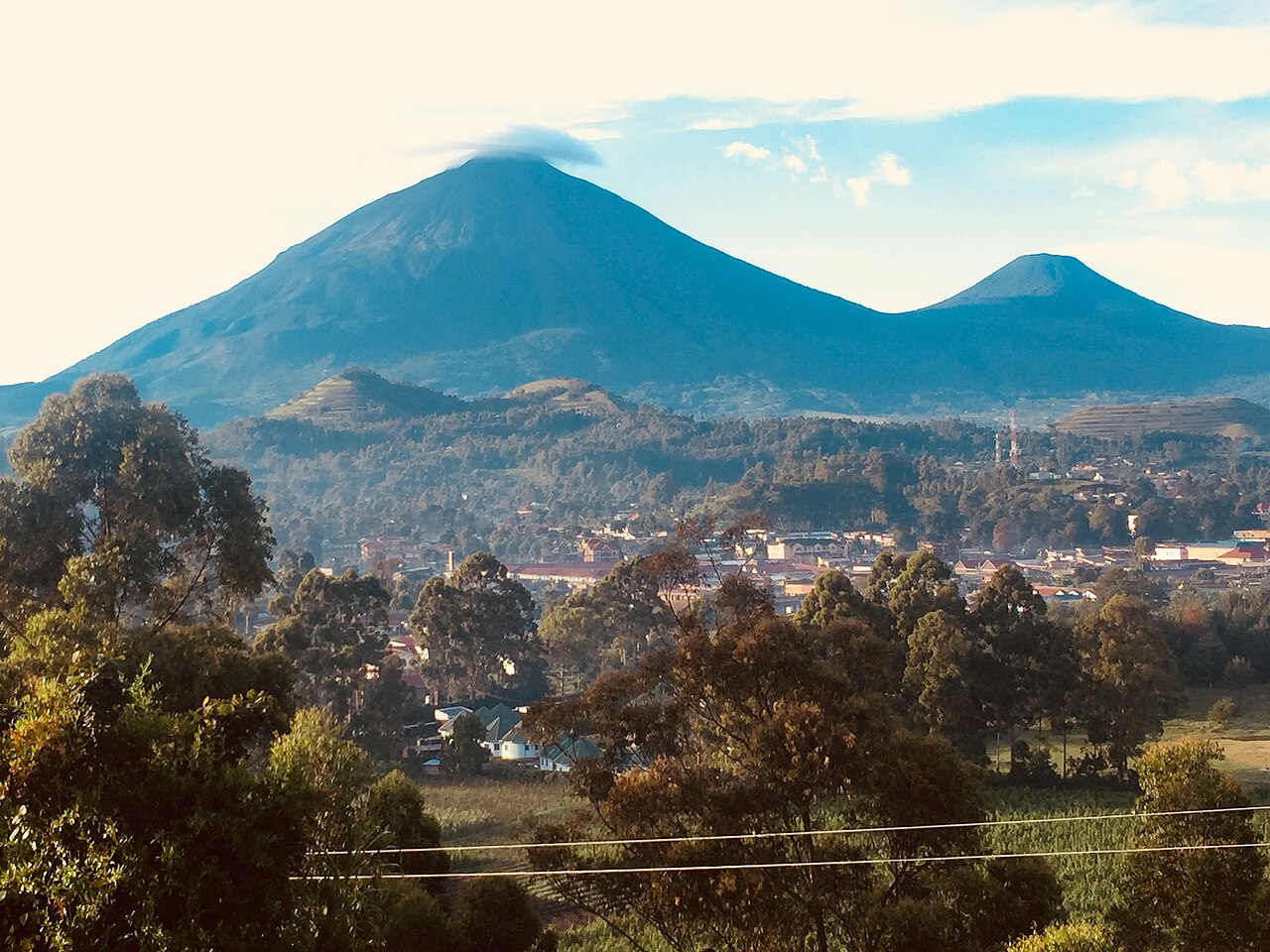
Position and Name
Mgahinga Gorilla National Park takes its name from Mount Gahinga. At 3,474 metres, Gahinga sits between Sabyinyo to the west and Muhabura to the east, forming the middle element of a volcanic chain along the Uganda–Rwanda border and the lowest of the three peaks.
Summit Crater
Gahinga's summit holds a swamp-filled crater approximately 180 metres across, as described in the hydrology and geology sections of the Uganda Wildlife Authority management plan. This feature is a wetland rather than an open water body, distinguishing it from the small crater lake atop neighbouring Muhabura.
Saddle Waterways and Vegetation
Gahinga's slopes drain into two named saddle corridors. The saddle between Gahinga and Muhabura to the east feeds the Kabiranyuma stream, which flows northward through the park. The saddle between Gahinga and Sabyinyo to the west channels water into the Rugezi drainage.
The Uganda management plan describes a bamboo zone on Gahinga's mid-elevation slopes, forming a distinct belt in that altitude range. The moist saddle environments on both flanks and this bamboo zone characterise the vegetation of Gahinga's slopes as recorded in park sources.