
Elevation and Survey Record
The 1906 Gannett Gazetteer carried a formal entry for this high point on the San Juan and San Miguel county line, and the 1955 USGS Ophir quadrangle continued to distinguish Fuller Peak from adjacent Beattie Peak and Vermilion Peak along the same ridge. Printed map contours suggest a summit elevation near 13,761 feet, while lidar-derived data from National Map point clouds returns approximately 13,777 feet, a modest difference that reflects how digital methods can refine values derived from earlier field surveys.
Fuller Lake and the Upper Ice Lake Basin
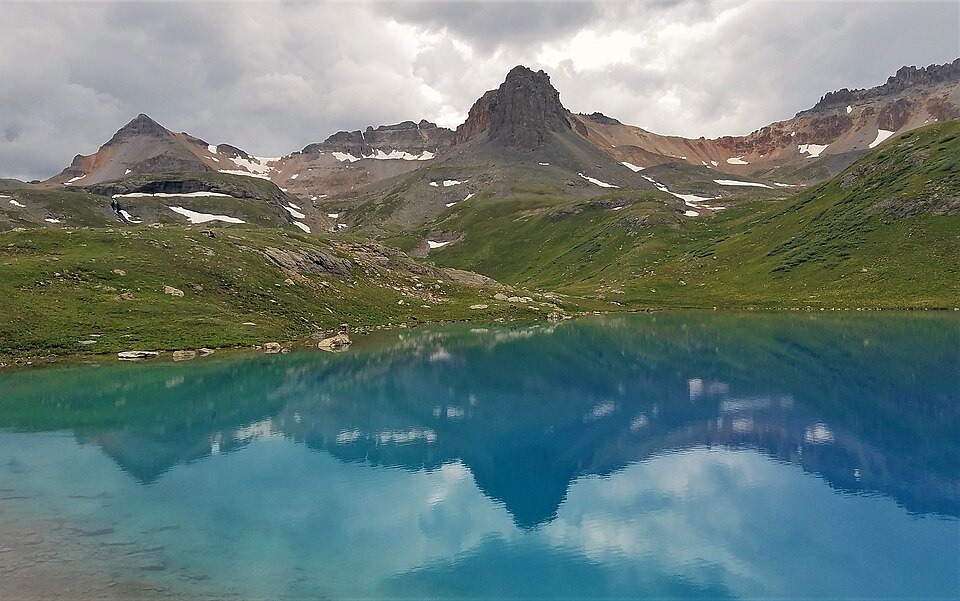
Fuller Lake sits directly below the peak and is identified by the San Juan Mountains Association as the largest of three named lakes in the Upper Ice Lake Basin. Basin runoff drains east via the South Fork Mineral Creek and downstream through the Mineral Creek system to the Animas River. USGS digital geologic mapping of the Ophir quadrangle records the lower valley floors as containing Quaternary glacial deposits and alluvium, distinct from the exposed summit terrain above.
Ridge Context and Geological Setting
A 2016 photograph by John Fowler, taken beside Ice Lake northeast of the summit, captures Fuller Peak on the left of the frame and Vermilion Peak farther to the right, placing the two summits in the same visual composition that the 1955 Ophir quadrangle separates by named contour. Together the photograph and the printed sheet offer complementary readings of one ridge, one visual and one measured, without requiring either to stand alone as an authoritative account of the terrain.