
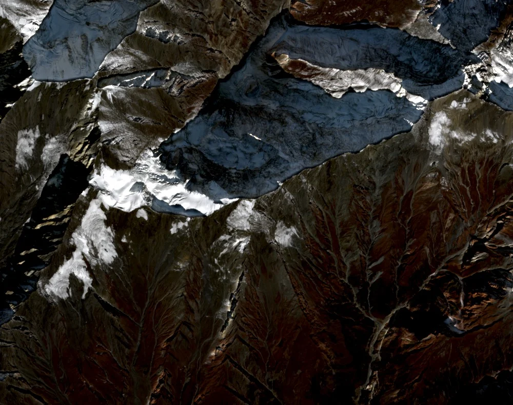
Pir Panjal Setting
Government of Himachal Pradesh records place Friendship Peak within the upper Beas catchment above Manali, alongside Beas Kund and Hanuman Tibba, in a corridor defined by the Rohtang Pass. A district export promotion document records the 5,289 m elevation and identifies the Solang Valley as the peak's geographic reference point.
Institutional Training and Recorded Ascents
The Atal Bihari Vajpayee Institute of Mountaineering and Allied Sports organizes training programs on peaks in the Rohtang Pass corridor, including Friendship Peak. A 2012 Indian Ministry of Youth Affairs and Sports citation includes the summit in Col. Anand Swaroop's mountaineering record. An Odisha state annual reference documents a separate ascent in 2007.
Speed Ascent from Manali
On 16 June 2020, trail runner Kieren D'Souza completed a speed ascent of Friendship Peak on foot from Manali and returned the same day, a round trip logged in the American Alpine Journal as a documented fast ascent of the peak.