
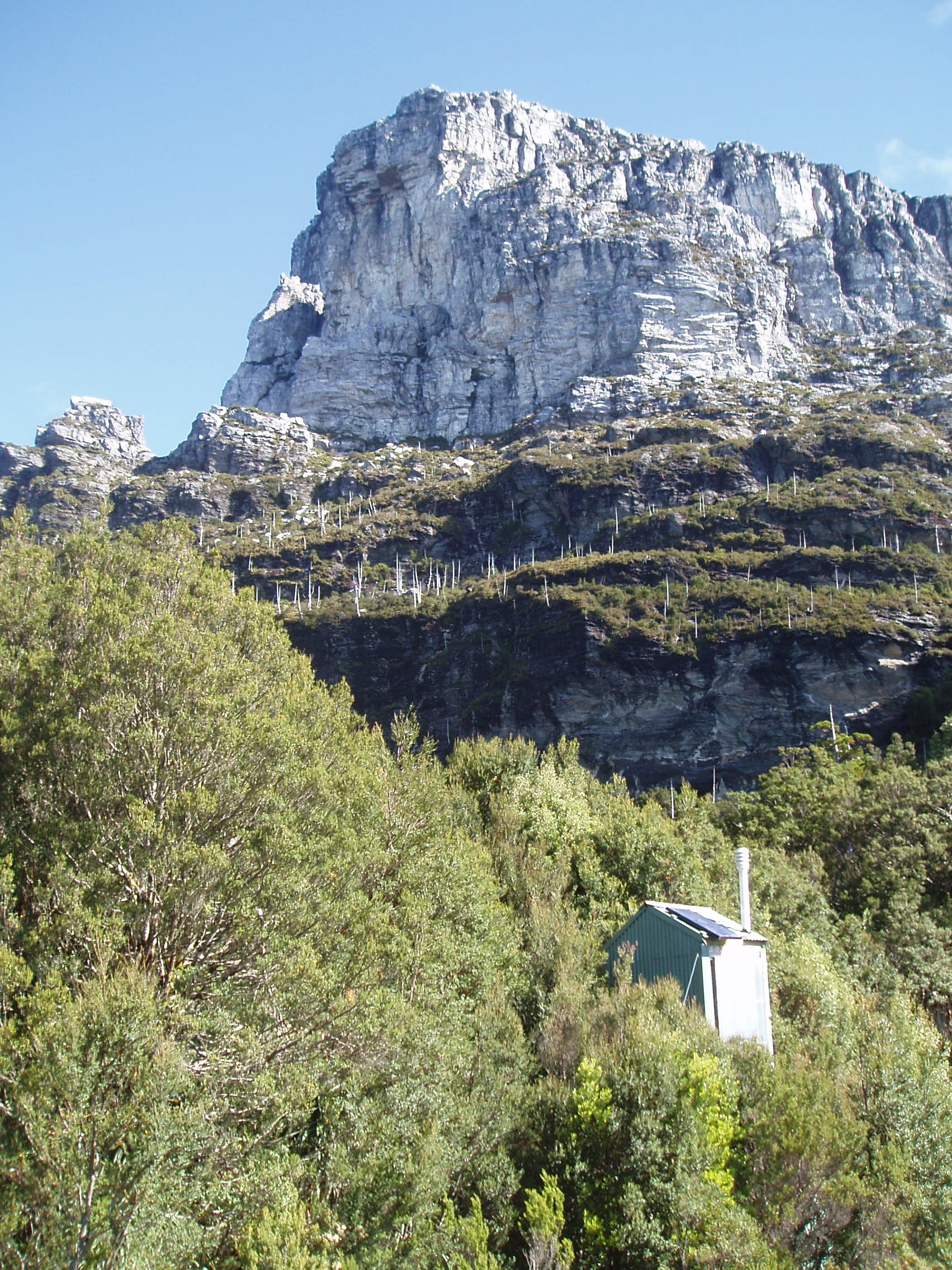
White cliffs above Lake Tahune
Frenchmans Cap rises to 1,446 metres in western Tasmania. The white quartzite wall in the photograph stands above Lake Tahune, with the Franklin River bending around the mountain country below. J. A. Peterson’s 1966 survey mapped the hollows where glaciers accumulated and the ridges of debris they left as they retreated. The team lowered a sounding line from an inflatable boat to measure lake depths. Beneath the surface, several lakes proved deepest near their steep backwalls.
A marker at the summit
In January 1853, members of surveyor James Sprent’s party reached the summit and set up a marker. Sprent recorded in his report that he turned back before the top. He judged it impractical to carry a theodolite up the mountain to measure angles. The report provides the earliest documented European ascent and identifies the climbers as members of his survey party.
From a national park to World Heritage
Frenchmans Cap became a national park in 1941. The mountain now stands within Franklin–Gordon Wild Rivers National Park, part of the Tasmanian Wilderness World Heritage area. The 1982 inscription acknowledged both the natural landscape and the long history of Aboriginal people in western Tasmania.