
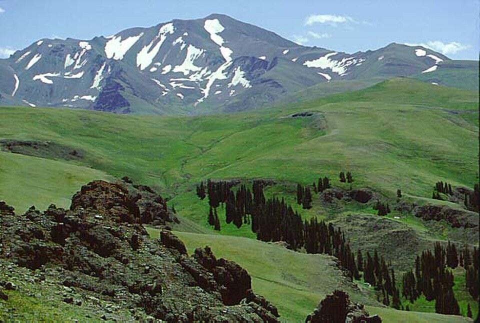
Volcanic Geology of the Upper Absarokas
The Wyoming Geological Survey maps Wiggins Formation volcanic rocks beneath Francs Peak and identifies a separate rhyolite plug in Avalanche Creek to the southwest. That plug is a distinct feature from the summit itself, though both belong to the same volcanic province that defines much of the central Absaroka Range.
Otto Franc and the Upper Greybull Watershed
Research drawing on the diaries of rancher Otto Franc documents a camp below the peak in 1889 and a survey of nearby grazing land in 1893. Those records illuminate a period of significant change in land use across the upper Greybull watershed during the late nineteenth century.
The Kirwin Mining District
The upper Wood River drainage near Francs Peak held a gold and silver mining district centered on the settlement of Kirwin. A 1907 avalanche descending from Brown Mountain contributed to Kirwin's decline—an event that occurred within the nearby district, not on Francs Peak itself.