
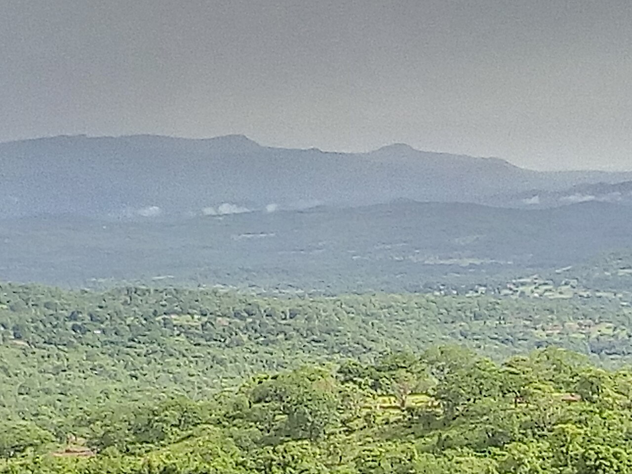
Lateritic Plateaus and Valley Incision
The Fouta Djallon's surfaces are dominated by laterite, the iron-rich residual material produced by deep chemical weathering under a humid tropical climate. As streams descend from the plateau edges, they cut sharply into these hardened crusts, producing the pronounced escarpments and valley forms that IRD hydroclimatological research has documented across the highland landscape.
Headwaters of the Gambia, Niger, and Senegal Tributaries
Flow records studied at MDPI Water confirm that the Fouta Djallon drains into three distinct river basins. The Gambia and Niger both originate within the highlands, while the Bafing, one of the main contributing tributaries of the Senegal River system, draws its upper waters from the plateaus. The Senegal River itself forms further downstream from the confluence of these headwater streams.
Eight-Country Regional Management Initiative
In 1981 a regional integrated-development initiative brought together eight countries to coordinate land and watershed management across the broader Fouta Djallon drainage area. FAO historical records describe the program as a response to the downstream consequences of upstream land use, acknowledging that hydrological conditions in Guinea shape water availability across much of the surrounding region.