
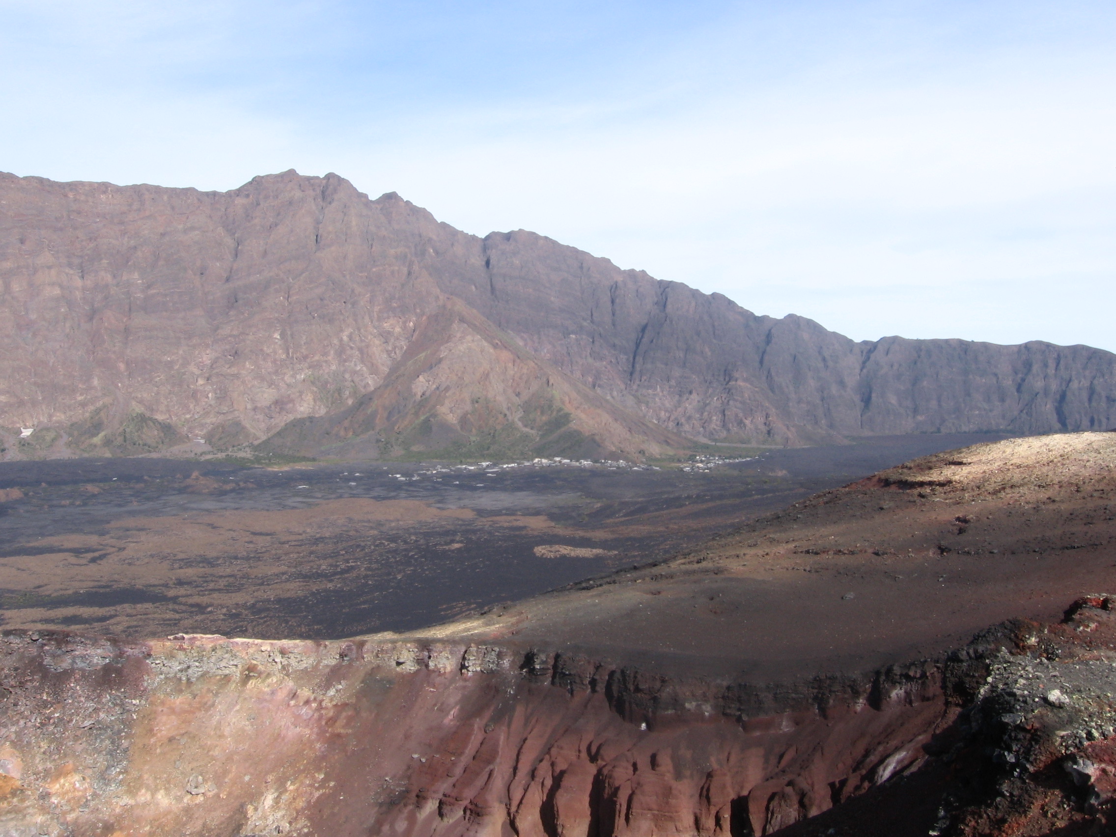
Topography and the Monte Amarelo Spur
The Monte Amarelo spur projects from the Bordeira into Chã das Caldeiras. Gonçalo Vieira and colleagues mapped two sectors on either side. The smaller northern basin has a radius of about one kilometre and a floor that averages roughly 1,650 metres above sea level. The younger cone of Pico do Fogo rises within the larger depression.
The northern rock face exposes lava from the older Monte Amarelo volcano. Different flows can be sampled at different levels of the wall, allowing field geologists to read a sequence that is partly buried by younger lava on the basin floor.
Radiometric Ages and the Collapse Question
In 2021, Mélodie-Neige Cornu and colleagues dated a northern wall lava flow to 160,000 ± 4,000 years ago, during the growth of Monte Amarelo. A younger flow at Montinho laps over the north rim. They dated it to 59,000 ± 10,000 years ago. Combining samples elsewhere on the Bordeira, the team estimated that the volcano’s eastern flank failed about 68,000 years ago.
On nearby Santiago, Ricardo Ramalho and colleagues dated seven boulders associated with a tsunami linked to the Fogo collapse. They reported an average exposure age of 73,000 ± 7,000 years in 2015. The dates from the lava flows and the boulders give two ways to estimate when the collapse took place.
Offshore Evidence and Unresolved Scenarios
In July 2026, Emma Hadré and colleagues reported two deposits east and northeast of Fogo. In seismic images, their irregular echoes are consistent with a jumble of material transported by avalanches. A smaller northern deposit lies over a wider one associated with Monte Amarelo.
The order of these deposits helps reconstruct what happened offshore. The team set out several possible sequences for the collapse on land. The smaller debris deposit’s link to a particular part of the Bordeira remains unresolved.
Settlement, Water, and the 2014–2015 Eruption
According to Vieira and colleagues, people began settling near Monte Amarelo in the late nineteenth century. Springs and temporary streams draining the larger canyons made water easier to reach. The 2008 photograph shows Portela and Bangaeira at the foot of the wall.
Lava damaged large parts of both villages during the 2014–2015 eruption. S. F. Jenkins and colleagues surveyed the area and reported that lava affected about 260 buildings, or three quarters of the buildings across three settlements in Chã das Caldeiras.