
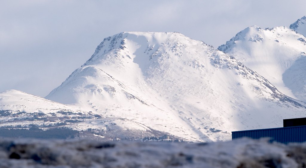
Name and Geographic Record
The U.S. Board on Geographic Names attributes the descriptive name to a 1963 report by the Mountaineering Club of Alaska. That record documents the name's use at a particular date rather than fixing a date of first ascent or formal naming. The mountain occupies the end of a Chugach ridge within the state park, east of Anchorage, with the South Fork Campbell and Rabbit Creek watersheds flanking either side.
Terrain and Vegetation
Alaska DNR's trail profile documents a rise to approximately 3,500 feet, or about 1,070 meters. The state park describes the lower slopes as forested with hemlock below the timberline, with open alpine tundra above. That ecological transition occurs across a short vertical distance on the city-facing slope.
Views and Local Significance
In favorable conditions, the summit offers views across Anchorage, Cook Inlet, and the broader Chugach Range. The mountain's visibility from the city below, and the view back toward it from the summit, have contributed to its standing as a local landmark.