
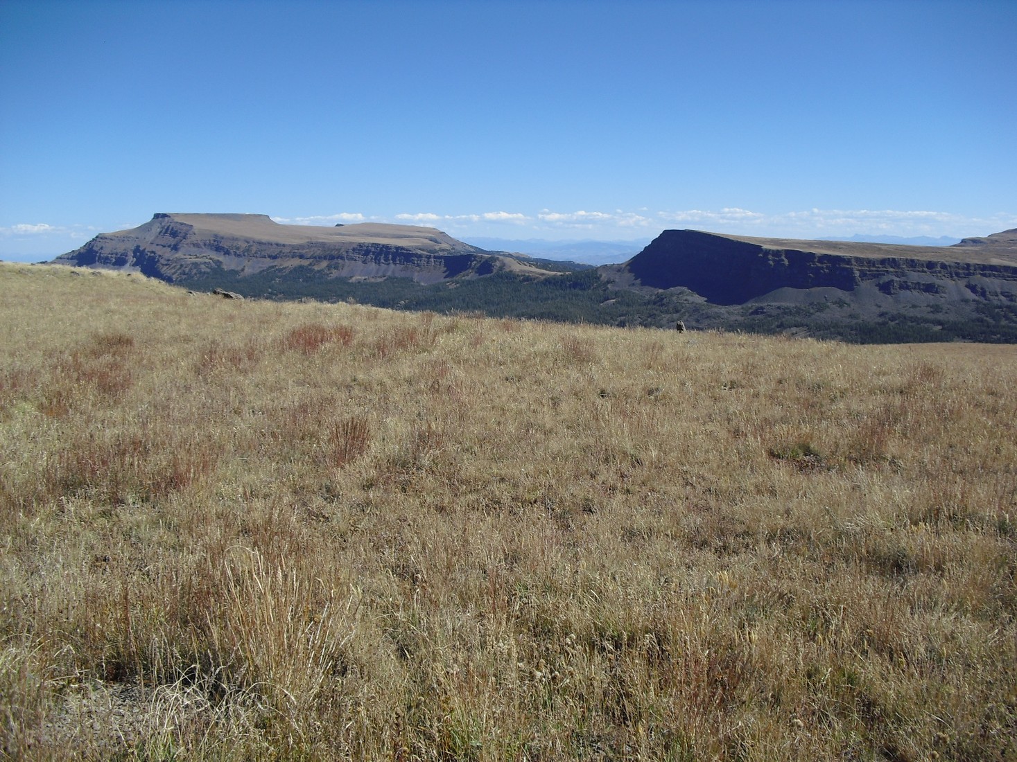
A Plateau Built in Basalt
The Flat Tops owe their profile to successive basalt sheets above older sedimentary formations. Research documents at least 27 such layers across the White and Yampa headwaters corridor, representing a long geological archive of regional volcanic activity. The plateau's elevated position reflects differential erosion of the surrounding terrain among other factors.
Glacial Valleys and the Modern Landscape
Quaternary glaciation and stream erosion sculpted the valleys framing the summit. A published study estimates approximately 700 m of headwater stream incision along the Orno Peak–Flat Top Mountain profile. The Orno Peak topographic quadrangle covers the summit area.
Wilderness Designation and the Carhart Connection
Congress designated Flat Top Mountain within the Flat Tops Wilderness in 1975. The earlier chapter of protection centers on Trappers Lake to the west, where landscape architect Arthur Carhart argued in 1919 against plans for private summer-home development on the lakeshore—a recommendation widely cited in American wilderness advocacy history.