
1936: A gorge leads to the ice
V. Ratsek’s historical account describes how N. Gusak and A. Japaridze followed the stream up the gorge in 1936. After four hours they saw a tongue of bare ice at about 4,090 metres and two steep steps in the lower glacier. The pair continued to the watershed, where they could look down into the Mushketov Glacier basin.
1953: The first ascent of Ozodi
On 22 August 1953, Alexei Ugarov and seven other climbers reached the 7,105-metre summit, then known as Peak Evgenia Korzhenevskaya. They came from Fortambek, followed the gorge and the glacier, and gained the ridge from the northwest. Later accounts of their line describe three glacial steps along the full approach.
Two later views of the valley
A 1989 Novosibirsk State University expedition photographed the gorge and lower icefall and camped on moraine deposits at a reported 4,300 metres. In 2012, Alexey Ivanov and Vladimir Petlitskiy used a separate ravine to reach the west ridge. They joined the 1953 line high on the mountain and reached the summit on 19 August.
Satellite View
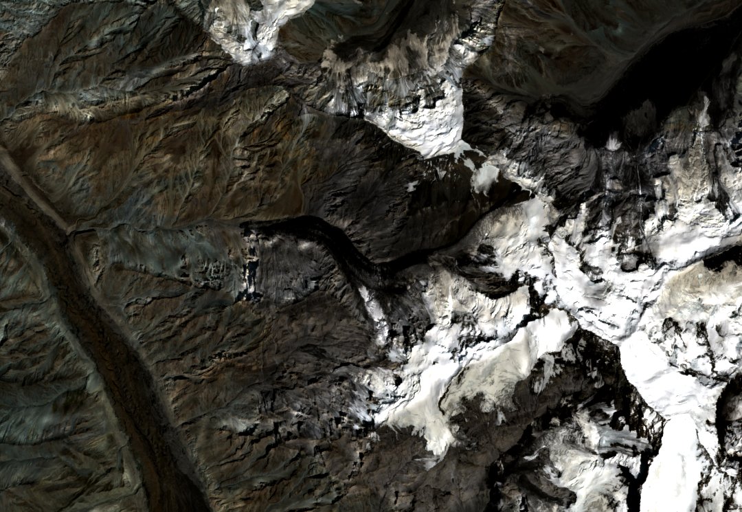
In the August 2025 Sentinel-2 view, the broad Fortambek valley is on the left. Follow the narrow valley branching to the right to see where the darker lower channel leads up to the ice and snow.