
Multiple Names: Different Expressions of Geographic Identity
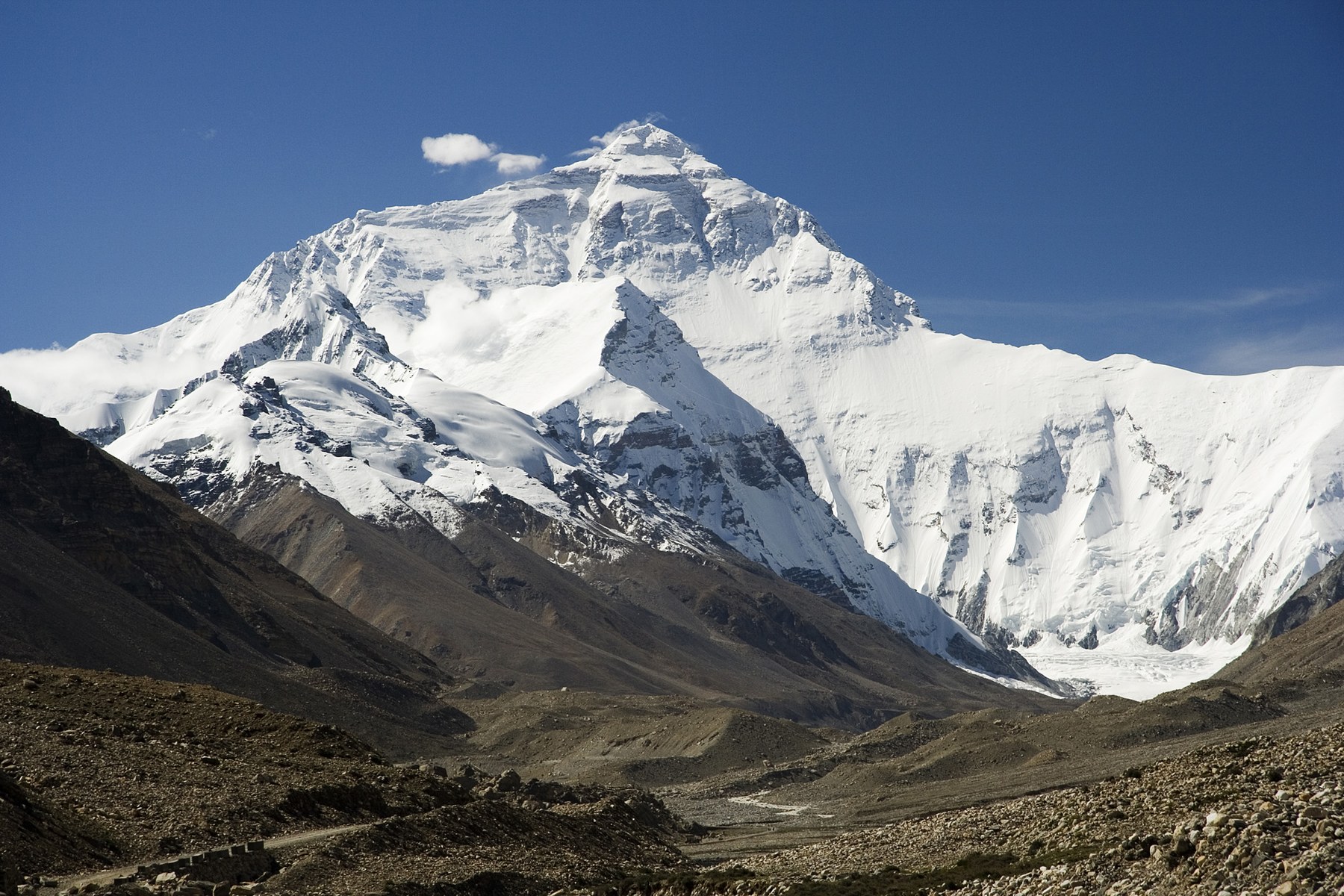
Mount Everest carries several formal and colloquial names in concurrent use. "Chomolungma" derives from Tibetan; Nepal's official name for the peak is "Sagarmatha"; and the English-speaking world uses "Everest" — all three refer to the same mountain and each reflects a distinct linguistic and cultural tradition. In Chinese contexts, "Zhufeng" is the widely used short form, while "Zhumulangma Feng" is the standard full name.
On the Nepali side, UNESCO inscribed Sagarmatha National Park as a World Natural Heritage Site in 1979; the heritage boundary lies within Nepal. Beyond the park's geographic limits, Sherpa communities have lived for generations on the southern slopes of Mount Everest, and their role in high-altitude guiding and the transmission of mountain culture is an important element of the human background of this region.
The 1953 First Ascent: The Southern Route and Key Geographic Features
The 1953 British expedition organised by John Hunt made its attempt on Mount Everest. On 29 May, Edmund Hillary and Tenzing Norgay completed the first ascent via the southern route — the first documented summit by any person. The original expedition reports by Hunt and Michael Westmacott detail the course of the climb; the South Col and the Western Cwm recorded in those reports are the key geographic features along this historic southern route.
Elevation Measurement: The Scientific Background to Snow-Surface Readings
The 8,848.86-metre figure jointly published by China and Nepal in 2020 represents the latest consensus built on multiple independent surveys conducted by different bodies over preceding years. The official announcement explicitly states that this is a snow-surface elevation, not a rock-surface elevation, and that a difference exists between the two values — the rock-surface reading is lower than the snow-surface reading, with the precise gap depending on the depth of snow at the summit. China's Ministry of Foreign Affairs made a clear terminological distinction on this point in its announcement, a technical detail that is important for understanding discrepancies between measurement results from different historical periods.