
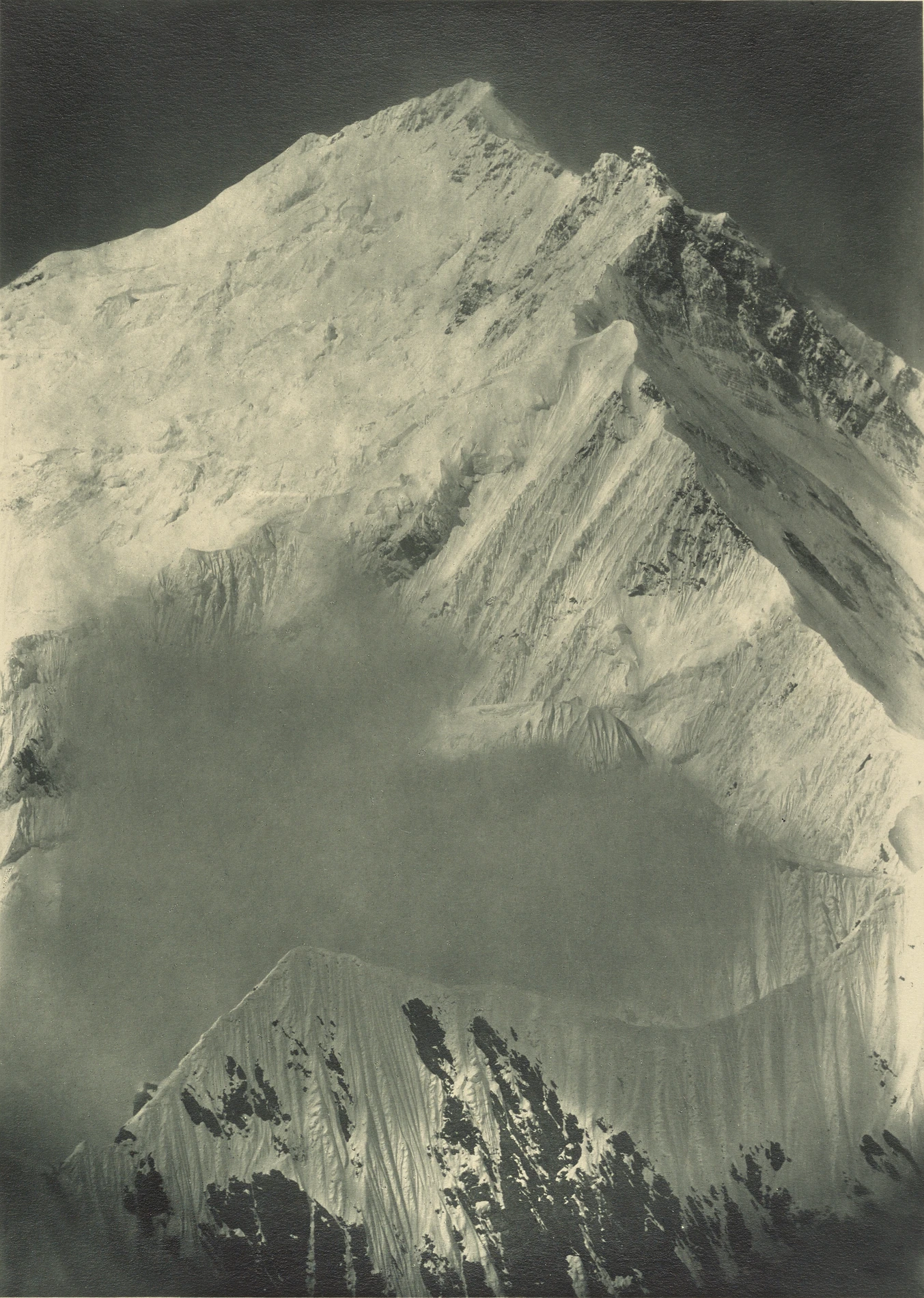
Terrain and First Record
The ridge rises from Rapu La, a saddle on the Tibetan side referred to in expedition literature also as Raphu La and Rabü La, then continues as a narrow snow-and-rock arête with rocky pinnacles near 8,000 m before reaching the Northeast Shoulder high on the mountain, where the North Ridge joins from below. The First, Second, and Third Steps lie on that shared upper stretch above the shoulder.
During the 1921 British reconnaissance the team examined several approaches to Everest, and Sandy Wollaston photographed the Northeast Ridge from the Kharta side. The annotated version of the image published in the 1922 Royal Geographical Society report identifies the Northeast Shoulder. In the official 1922 account Mallory described formidable rock towers visible along the crest and identified the North Col as a way up to the shoulder.
1982 and 1992 Attempts
In 1982 Chris Bonington led a party attempting the full ridge without supplemental oxygen. Peter Boardman and Joe Tasker disappeared on 17 May in the area of the pinnacles. The circumstances remain uncertain.
A joint Japanese-Kazakh team climbed past the pinnacles in 1992 and established a camp near the junction of the Northeast and North Ridges at approximately 8,350 m. Climbing without supplementary oxygen, they remained stormbound and decided not to push for the summit when the weather remained uncertain. Their account records that the team found remains near the second pinnacle that were subsequently identified as Peter Boardman.
First Complete Ascent, 1995
On 11 May 1995 a Nihon University expedition made the first complete ascent of the Northeast Ridge to the summit. The team approached from below Rapu La via the steep Bill's Buttress, divided into three rotating groups to extend ropes over the pinnacles, and established a high camp at about 8,350 m before reaching the top. The six climbers who summited were Kiyoshi Furuno, Shigeki Imoto, Lhakpa Nuru, Dawa Tshering, Nima Dorje, and Pasang Kami.
Weather logistics were integral to the planning. The Japan Weather Association transmitted forecasts to the team via INMARSAT, supplemented by information relayed through their Nepali sirdars and readings taken at upper camps. The expedition also conducted separate scientific observations of high-altitude weather conditions, documented in a dedicated report by Nihon University Mountaineering Club.
Reading the ridge from photographs
A 2016 annotated photograph published in Jordi Tosas's American Alpine Journal account maps the rocky pinnacles and Northeast Shoulder along the skyline above the north-northeast face. The annotated lines show the complete 1995 Northeast Ridge route and several ascents and attempts on the face below it.