
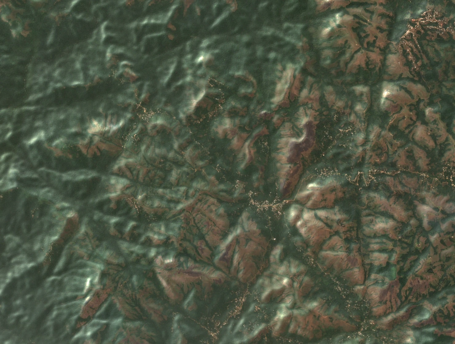
Ridges on either side of the Feg
Andek’s 2012 development plan describes two blocks of hills divided by the Feg valley. Bonanyang, Angai, Etoh and Mbabum lie in the western block. The Etwii dome and the Ajei–Angong ridges mark the east. The plan records weathered granite across the municipality. Steep streams cut narrow valleys through the hills.
From ridge to river
In a 2024 regional account, Mercy Mvo Ezigha describes the Anjoh River rising in surrounding hills and flowing through Etoh, Ebang and Afed. On the satellite photograph, wooded slopes alternate with open hilltops and small settlements. The municipal survey identifies the region as a transition between forest and savanna. Lower down around Mengom, the same survey records a natural oil-palm forest.
Ngie settlements in the hills
George W. Gregg’s 2002 language survey places Etoh among the central Ngie-speaking villages. Its interviews took place in Andek, Teze, Esaw and Oshie in November 2001. Andek Council also records a palace of the Fon, or traditional leader, at Etoh. Together the two sources place the village within a network of mountain communities with documented ties to the Ngie language and local institutions.