
An elevation that differs from one crater to the next
Etna's summit area comprises four active craters: Voragine, Bocca Nuova, Northeast Crater, and Southeast Crater. In 2021 the INGV measured an elevation of 3,357 meters on the northern rim of the Southeast Crater. A drone survey on September 12, 2024, identified a maximum of 3,403 meters on the eastern rim of Voragine, with a preliminary uncertainty of approximately one meter.
The two figures describe different points and different dates. During some eruptive episodes, volcanic material accumulates on crater rims. Elsewhere, collapses and subsidence lower the ground. The INGV's reconstruction from 1865 to 2024 also shows how a large Central Crater gave way to today's configuration of multiple craters.
From Nicolosi to the walls of Catania
In 1669, the eruption began on the southern flank. The Monti Rossi formed near Nicolosi, while the lava flows descended through inhabited land all the way to the sea. At Catania, lava piled up against the walls of Castello Ursino. The medieval fortifications, reinforced during the emergency, partly limited the flow's advance into the city.
Between Nicolosi and Catania, the Monti Rossi cones and the castle therefore tell the same episode from two opposite ends. The first marks the point where lava broke out of the flank. The second documents how the path of a lava flow can shape the form of a city and its coastline.
The Valle del Bove, a cross-section of the volcano
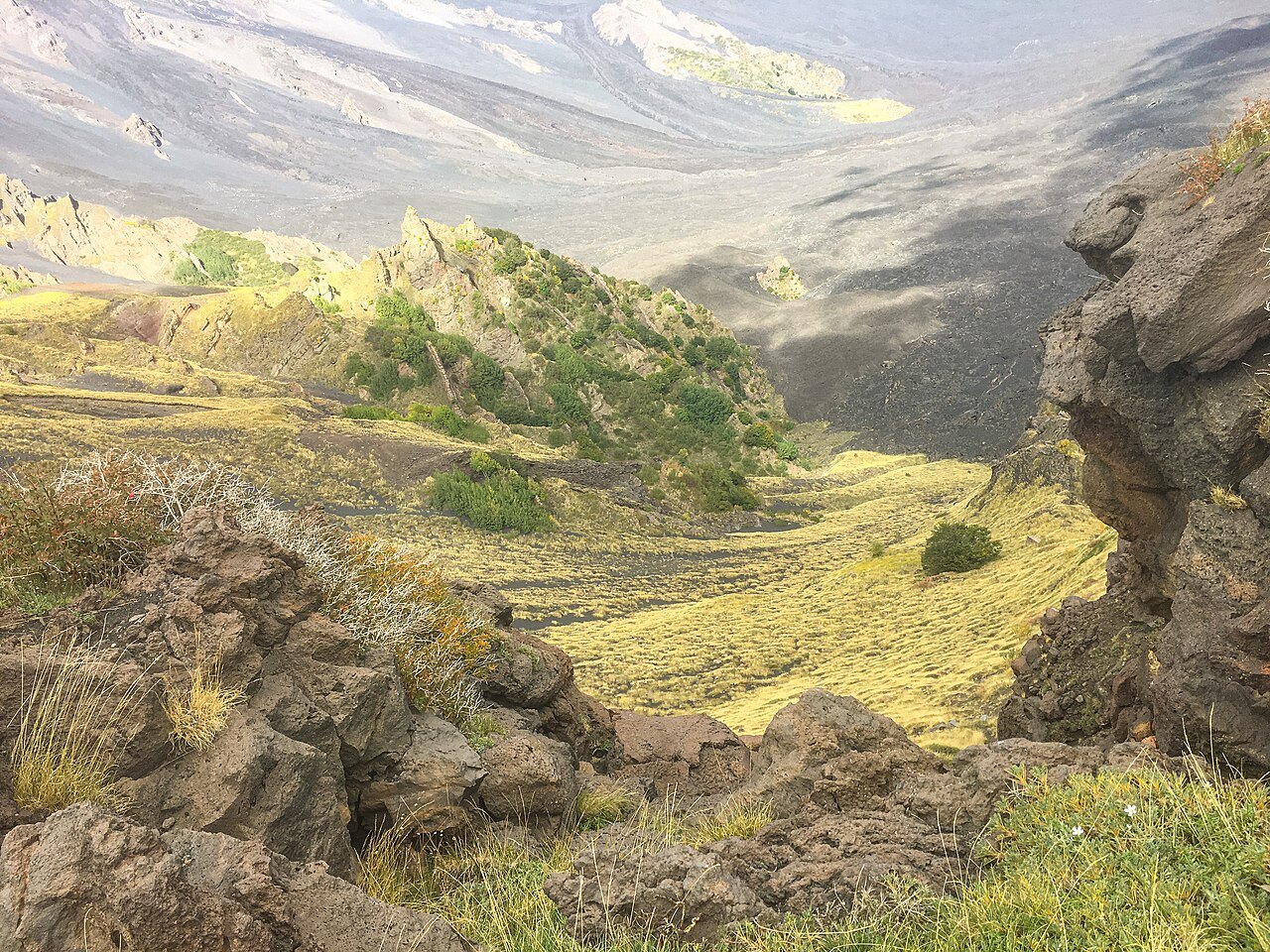
On the eastern flank, the great depression of the Valle del Bove exposes in its walls the succession of rocks built up during the volcano's earlier phases. The valley is part of the landscape that supported Etna's inscription on the World Heritage List in 2013. Viewing the flank from a vantage point allows you to observe together the eroded walls and the lava fields that overlap on the valley floor.
On the flanks, before the summit craters
In the northeastern sector, the Monti Sartorius Nature Trail explores a landscape of lateral cones a short distance from Rifugio Citelli. The summit area has its own access rules, tied to volcanic activity. The ordinances collected by the Park Authority set out the regulations for the different municipalities.