
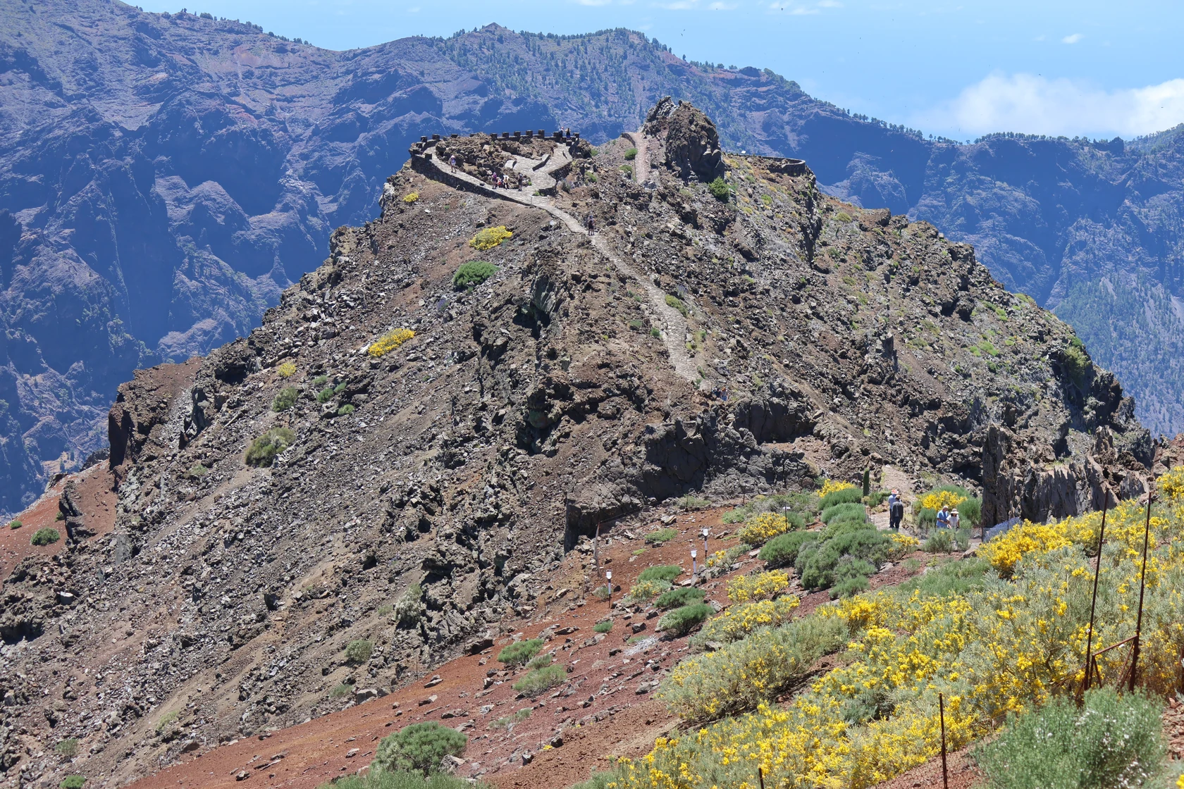
The ridge and its viewpoint
The national park records a 0.6 km route along this spur of the caldera rim. The trail data log a maximum elevation of 2,417 m and a minimum of 2,357 m along the route. From one of the viewpoints, the cliffs of Los Cantos de Turugumay are visible to the north.
The geological field guide by José Mangas Viñuela describes how erosion has carved into this ancient volcanic edifice. The walls expose materials from different stages of the island's growth.
Reading the rocks at Los Cantos de Turugumay
At Los Cantos de Turugumay, the park distinguishes cones of various colors, dykes cutting through them, and superimposed lava flows. A dyke forms when magma enters a fracture and solidifies. Where one cuts through a cone, there is a sequence that can be read directly in the rock: the material it cuts through already existed when the dyke formed.
Near the Roque, the park identifies a grey wall as the remnant of a volcanic cone's conduit. Erosion has dismantled much of the cone on that slope and exposed its interior.
A restoration trial begun in 1994
The Guía de la Caldera de Taburiente records, on pages 208–210, an experimental plot established in 1994 in the Espigón area on shallow red lapilli (picones). Monitoring documented flowering and fruiting in summit plants introduced during the project. However, seedling establishment from seed — that is, spontaneous regeneration — was very sparse.
Flowering and fruiting indicated that some of the introduced plants had become established. The low number of seedlings showed that, even with adult plants producing seed, natural recruitment remained limited within the plot.