
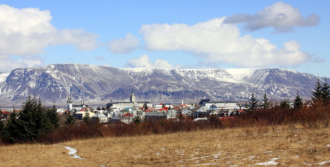
Layered Volcanic Architecture
Geologist Ingvar Birgir Friðleifsson, writing for the University of Iceland's Vísindavefur, explains that Esja's structure reflects alternating climatic episodes: subaerial basalt flows were laid down during warmer interglacial periods, while volcanic tuff accumulated where magma encountered glacier ice during colder phases. This repeated alternation produced the massif's distinctive horizontal banding. The University of Iceland's reference chronology places the onset of the regional eruptive phase at approximately 2.8 million years ago, though the Nordic Volcanological Institute's stratigraphic field report presents its own span, and precise onset or end dates should not be treated as settled across sources.
Þverfellshorn and the Massif's Form
Þverfellshorn is a named shoulder on the massif, situated below the highest point. The broad, flat-topped profile that residents observe from the city reflects the cumulative layering of flows and tuff rather than a single volcanic event, giving Esja the visual character of a plateau rather than a peaked summit when seen from the south across Faxaflói bay.
Municipal History
The educational resource Náttúra Reykjavíkur records that Esja became formally part of Reykjavík municipality in 1998, when the city merged with the neighbouring administrative unit of Kjalarneshreppur. That merger extended the city boundary northward to include the massif, which the same resource frames as a landscape fixture that residents encounter repeatedly from across the water.