
Granite Intrusions and the Gondwana Record
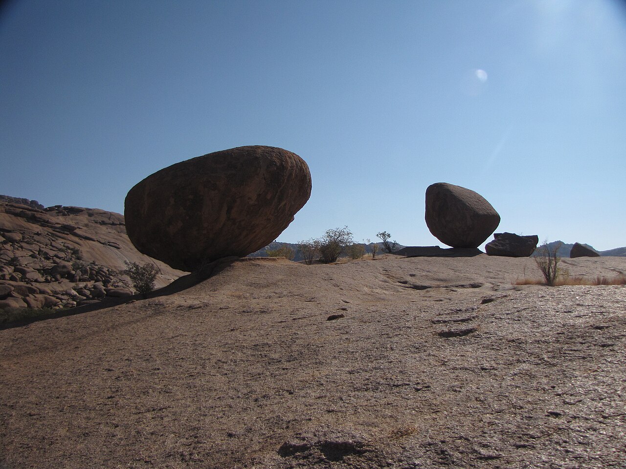
The Atlas of Namibia identifies the Erongo Complex as an eroded volcanic core, with granite intrusions dating to around 132 million years ago marking the period when the Gondwana supercontinent began to fragment. The characteristic ring dykes and exposed crystalline faces visible across the massif today reflect that deep-time structural history rather than any ongoing activity.
Elevation, Relief, and the Western Escarpment
At 2,319 metres, the summit stands approximately 1,200 metres above the western base of the range, a vertical interval documented in the Namibia Environmental Information Service record of the Erongo Complex. This relief drives local variation in temperature and moisture that distinguishes the mountains from the surrounding savanna plains.
Plant Diversity Recorded Across the Massif
A field biodiversity survey compiled for the Erongo area and archived through ICIMOD recorded 539 plant species across the range. The count reflects conditions sampled during that study period and covers habitat types distributed throughout the massif rather than concentrated on the highest peak alone.