
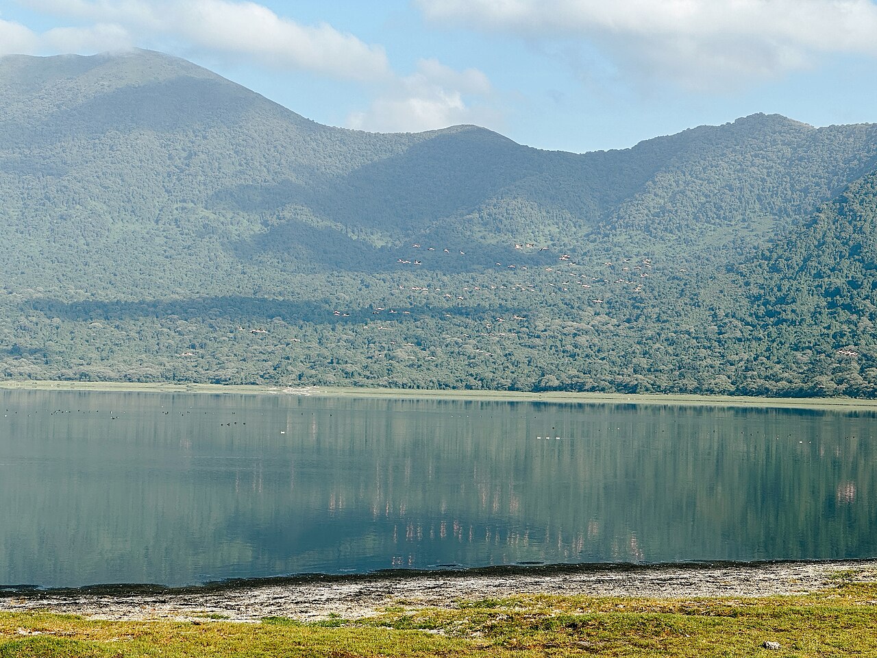
Caldera Form and Rim Elevation
The caldera is approximately 6 kilometres across. Crater walls rise roughly 300 metres above the lake surface, a figure cited by the Ngorongoro Conservation Area Authority. The official brochure places the upper rim at approximately 3,200 metres above sea level, while the Smithsonian Global Volcanism Program reports 3,220 metres for the Embagai volcanic centre.
Lake Chemistry and Hydrology
The lake is approximately 62 metres deep and alkaline. Springs on the western side feed it, and soda deposits are visible at the margins. Flamingos have been recorded at the lake.
Volcanic Age and Highland Context
Mollel and Swisher reported radiometric ages for volcanic materials from the Embagai centre ranging from approximately 1.2 to 0.6 million years. Those dates apply to the sampled rocks and are not a measured age for the caldera collapse itself. The Ngorongoro Conservation Area Authority's Caldera Route links Empakaai to other volcanic features in the highlands, placing it within a landscape formed by overlapping volcanic histories across the broader Ngorongoro region.