
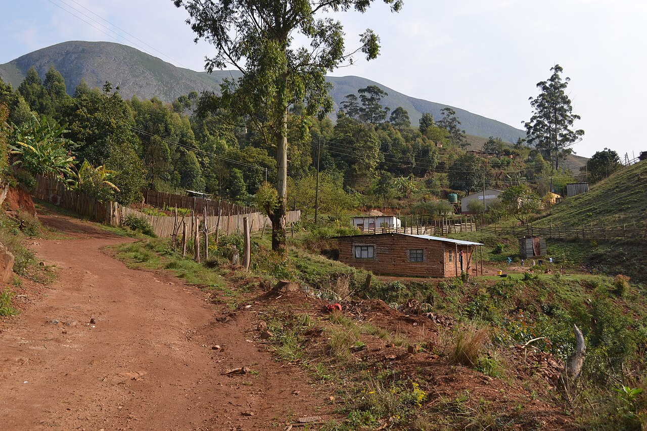
Emlembe Structural Belt and Greenstone Geology
A 2024 study published in the American Journal of Science names the Emlembe structural belt for the high point and maps its relationship to adjacent rock units, including coarse conglomerate, quartz-bearing sandstone, and Kromberg basalt in the surrounding sector. The research documents early deformation patterns within the eastern Barberton Greenstone Belt, situating Emlembe within a sequence of Archean rocks that record some of Earth's earliest preserved crustal activity.
Incised Streams and Mountain Grassland
A SADC regional groundwater survey records incised stream systems and montane grassland across the Greenstone Belt terrain in this part of Eswatini. The elevated plateau character of the landscape, shaped by the resistant ancient rocks beneath, sustains grassland vegetation typical of the highveld fringe, where stream channels cut sharply into the undulating surface.
Bulembu and the Barberton Cableway
Below the summit, Bulembu operated a former asbestos mine connected by an industrial cableway to Barberton across the border in Mpumalanga. South African Tourism documents this cableway as a distinctive example of mountain industrial infrastructure, threading through the Greenstone Belt landscape to link the mine workings at Bulembu with the town of Barberton.