
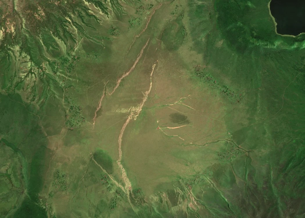
A Basin Among Ancient Craters
Part of Empakaai’s crater lake appears at the upper right in the Sentinel-2C image of 26 February 2025. Mollel and Swisher’s 2012 study dated the volcanic products they sampled at neighbouring Olmoti to roughly 2.0–1.8 million years ago and at Empakaai, also spelled Embagai, to 1.2–0.6 million years ago. Geological mapping places Embulbul between these volcanic centres.
Soil Chemistry at a Mineral Lick
Mills and Milewski sampled Embulbul as part of a 2007 study of natural mineral licks, places where animals ingest exposed soil or minerals. The Embulbul sample contained 30 grams of sodium per kilogram. Two nearby topsoil samples contained 7.7 and 7.4 grams per kilogram. For selenium the pattern was reversed, with 0.4 milligrams per kilogram at the lick and 1.0 in each topsoil sample.
Mapped Vegetation Differences Across Decades
A 2022 community assessment of the Ngorongoro area compared Landsat and Sentinel images of the Embulbul basin from 1976, 2000 and 2021. The assessment's Figure 9 presents mapped land-cover differences: for 1976, the map characterises the larger depression area as predominantly tall highland grass with patches of short grass and bush; by 2021, the assessment identified areas of shrub and bush as well as patches classified as weeds.