
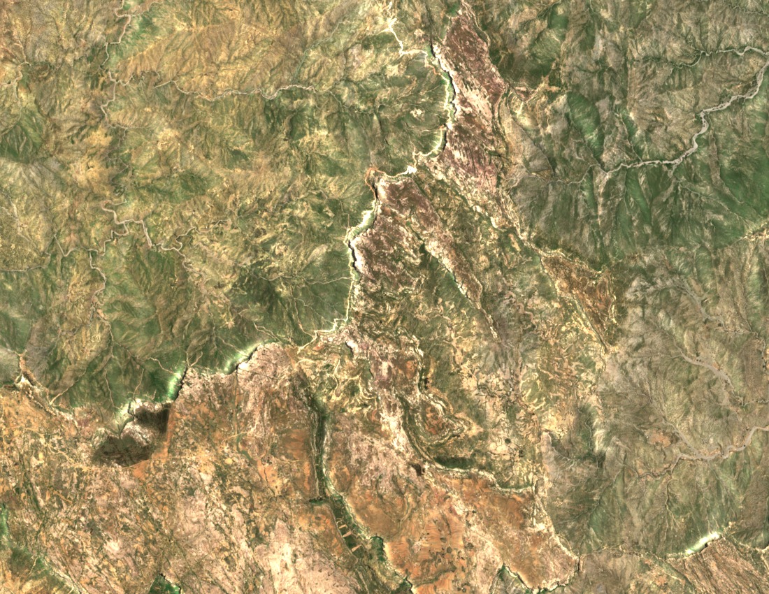
Horst Structure Between the Mareb Trench and Red Sea Rift
The Encyclopaedia Aethiopica describes Emba Soira as an uplifted crustal block positioned between sections of the Senafe crystalline plateau, with the Upper Mareb trench lying to the west and the Red Sea Rift system to the east. Research published through ResearchGate on the geology and geomorphological landscapes of Eritrea places the summit within this tectonically defined plateau rim, where ancient basement rocks have been exposed through long-term uplift and erosion.
Biodiversity and Eastern Escarpment Setting
Eritrea's National Biodiversity Strategy and Action Plan identifies Emba Soira as a significant high-elevation reference point along the eastern escarpment. The surrounding highlands support montane vegetation communities characteristic of the Afromontane zone, and the escarpment gradient creates distinct ecological transitions between the plateau interior and the lowlands toward the coast.
Seasonal Use Recorded in Ethnographic Accounts
The Encyclopaedia Aethiopica records ethnographic descriptions of seasonal ascents to the upper slopes, with temporary branch shelters constructed between May and July. These accounts reflect documented patterns of highland land use associated with the Senafe area. The Ministry of Information separately notes the broader Senafe sub-zone for its archaeological sites at Metera and Qohaito, which lie in the surrounding region rather than on the peak itself.