
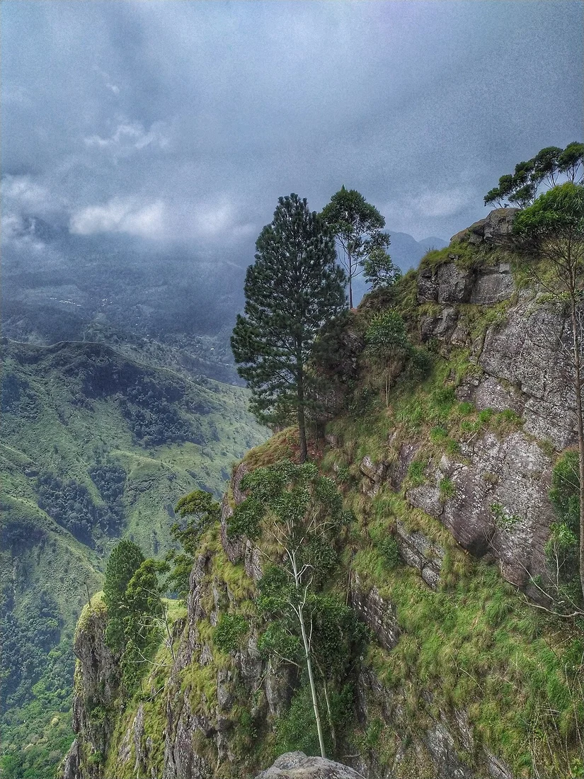
The Ella Gap and Its Escarpment
The Ella Gap valley opens directly below the escarpment's forested face, and the Tourism Development Authority's master plan for the Ella region identifies this relationship explicitly, framing the escarpment and gap together in its landform analysis. Little Adam's Peak, a separate hill to the east, and the named waterfall Kithal Ella occupy distinct positions within the same gap landscape.
Tea Estates, Grasslands, and Green Tourism Zone I
The 2021–2030 Ella Development Plan designates the Ella Rock area and surrounding slopes as Green Tourism Zone I. Tea estates occupy mid-elevation slopes around the escarpment, grassland patches intersperse where terrain steepens, and the Kithal Ella landscape is mapped specifically within this zone of estate, grassland, and forest.
The Railway and the Mapped Region
The Sri Lanka Railways line through the Ella region threads through the valley below the escarpment, connecting Ella town to the broader highland network. Both the tourism master plan and the 2021–2030 development plan map the railway as a regional infrastructure element within the same planning frame as the escarpment, tea slopes, and Ella town.