
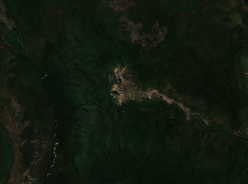
Position and landform
Eldon Peak occupies the western terminus of the Eldon Range, with Eldon Bluff and Eldon Crag extending the range to the east. Eldon Bluff lies about 7.5 kilometres east of Eldon Peak and reaches 1,361 metres. Eldon Crag is a third named high point in the range. At roughly 1,440 metres, Eldon Peak stands as the highest named formation on the range's western end, with open upland terrain above the point where vegetation gives way.
Early geological survey
Tasmanian Government geologist Charles Gould traversed the range in February 1860, moving from Lake St Clair toward Cradle Mountain. His report includes a table of trigonometric stations in which surveyor Sprent's measurement of 4,739 feet — approximately 1,444 metres — appears against Eldon Peak. During that traverse, Gould's party observed Mount Murchison from both Eldon Peak and Eldon Bluff, using the high points as sightlines through otherwise dense and difficult terrain.
Treeline and upland terrain
A Royal Society of Tasmania study on Tasmanian peak vegetation records trees reaching approximately 1,220 metres at Eldon Peak. That observed treeline leaves roughly 220 metres of open ground between the highest tree growth and the summit — a concrete measure of the exposed upland zone. The natural-colour satellite image shows the open upper ridge surrounded by forest.