
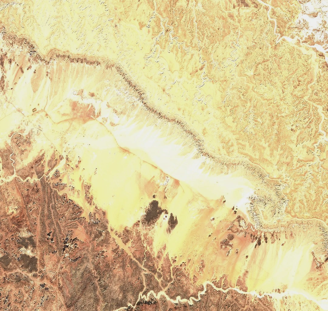
Southern Escarpment and Plateau Structure
In the Sentinel-2C image from 25 December 2025, the western part of the escarpment runs diagonally between the pale plateau and the lower ground. The surface slopes more gently northward. El Egma is the adjoining plateau to the north. Both contribute to the drainage of Wadi el-Arish, which runs toward the Mediterranean.
Much of the sediment that now covers the older basement rock accumulated in shallow seas. The limestone on El Tih dates to the Cretaceous, and some layers have fractures that channel and store groundwater.
Groundwater and Fracture Geology
A JICA survey with Egypt’s Water Resources Research Institute drilled six test wells in the central Tih–Egma area. Two wells located away from mapped faults were dry at the tested depths. Several wells and springs in the broader survey lay near faults. The investigators inferred that fractures in the limestone play an important role in where groundwater collects.
Historical Records and the Western Escarpment
During the 1868–69 survey of Sinai, James McDonald photographed the view northeast from Gebel Serbal, with El Tih in the distance. His photograph is preserved in an album at the Qatar National Library. In September 2012, Pierre Tallet and Damien Laisney documented rock engravings on a separate sandstone shelf at Wadi ‘Ameyra, west of the escarpment. The boats and the inscriptions associated with Iry-Hor and Narmer help date early Egyptian expeditions into Sinai.