
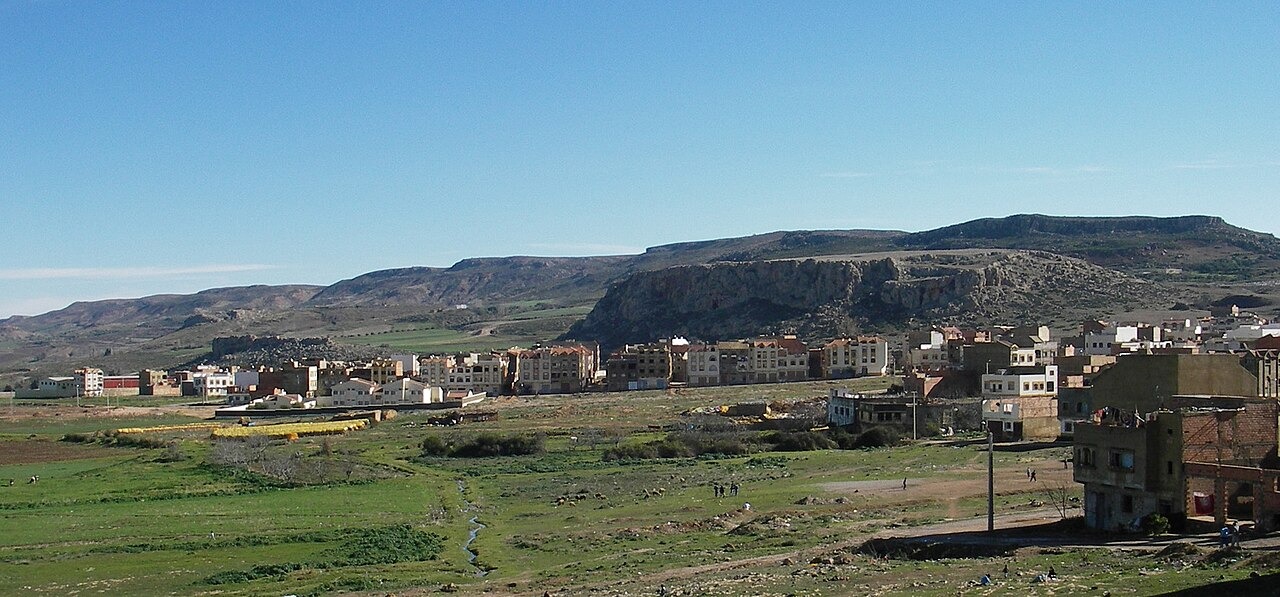
Plateau Steps and Karst Landforms
The limestone step at El Hajeb spans roughly 1,000 to 1,500 m in a regional inventory. Its fractured carbonate rocks contain dolines, shafts and caves. On the town side of the cliff, springs flow into a garden described by Morocco’s tourism office.
Subsurface Geometry and Sinkhole Mapping
Researchers combined electrical resistivity measurements with satellite imagery to study sinkholes on the El Hajeb plateau. One was roughly 30 m across. The electrical survey helped the team infer the shape of features below ground.
Layered Geology Below the Cliff
The geophysical study maps Jurassic carbonate rocks in the study area, alongside Triassic clays and weathered basalt elsewhere in the mapped sequence. Water can dissolve carbonate rock along fractures and enlarge openings below the surface.