
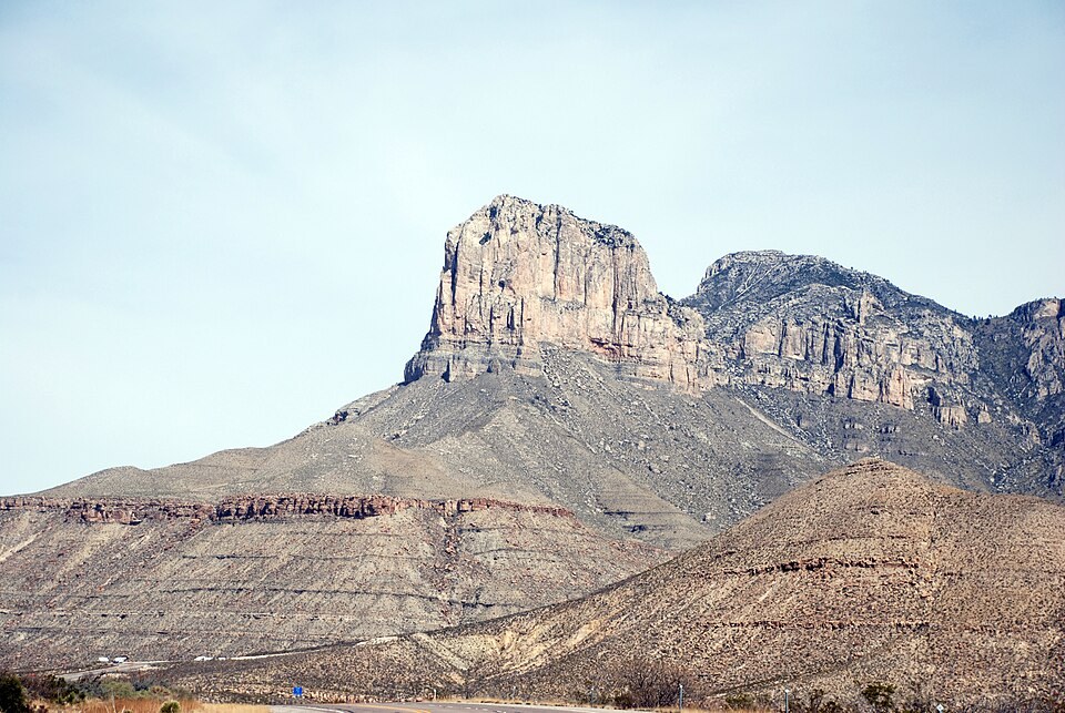
A Reef Turned Cliff
The sheer wall of El Capitan is a cross-section of the Permian Capitan Reef, formed roughly 260 to 265 million years ago when a shallow inland sea covered the region. Sponges, algae, and bryozoans accumulated over millions of years to build the limestone structure. Later fault movement uplifted the rock, and prolonged erosion stripped away the surrounding material to expose the steep face visible today.
Landmark at Guadalupe Pass
Below the mountain, at Guadalupe Pass, the Pinery Station operated as a stop on the Butterfield Overland Mail route between 1858 and 1859. The cliff functioned as a prominent regional landmark for travelers moving through the pass, its scale and visibility making it a fixed reference point across the surrounding desert terrain.
Position and Identity
The National Park Service places El Capitan within Guadalupe Mountains National Park and records its elevation at 8,085 feet. The summit is a distinct landform from Guadalupe Peak, which rises nearby to a greater height. The name El Capitan—Spanish for "the captain"—is shared by several peaks across North America, and sources consistently specify this Texan formation by its location within the Guadalupe Mountains.