
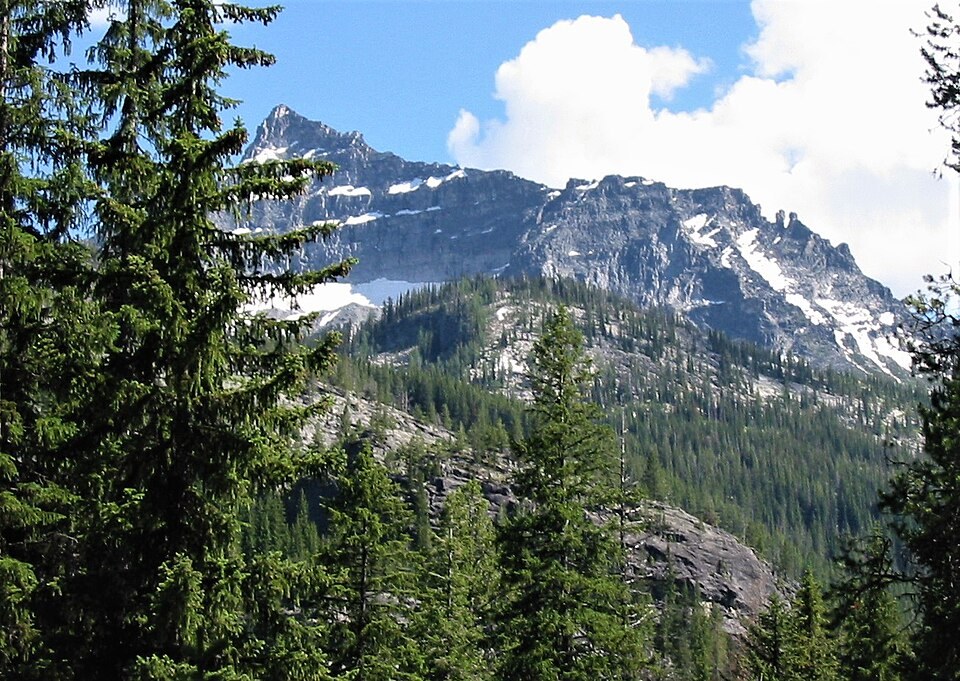
A Triangulation Point in the Chimney
A USGS account from the late 19th century describes surveyors placing a triangulation station in the central chimney of El Capitan's main peak. The copper plug set into solid rock served as a fixed reference whose sight lines reached St. Mary, Ward, and Willow peaks, enabling map construction through angle measurement across the Bitterroot range.
Intrusive Rock and the Bitterroot Lobe
A USGS study of the Bitterroot lobe places El Capitan within an area of mapped intrusive rocks, a geological context that helps explain the character of its exposed faces, including the steep north wall above the rugged basin.
Setting in the Bitterroot Landscape
The Forest Service's Magruder Corridor documentation situates El Capitan within a region of drainages, ridgelines, and high summits that the 19th-century survey network was designed to render as a coherent, measured whole.