
Form and Location
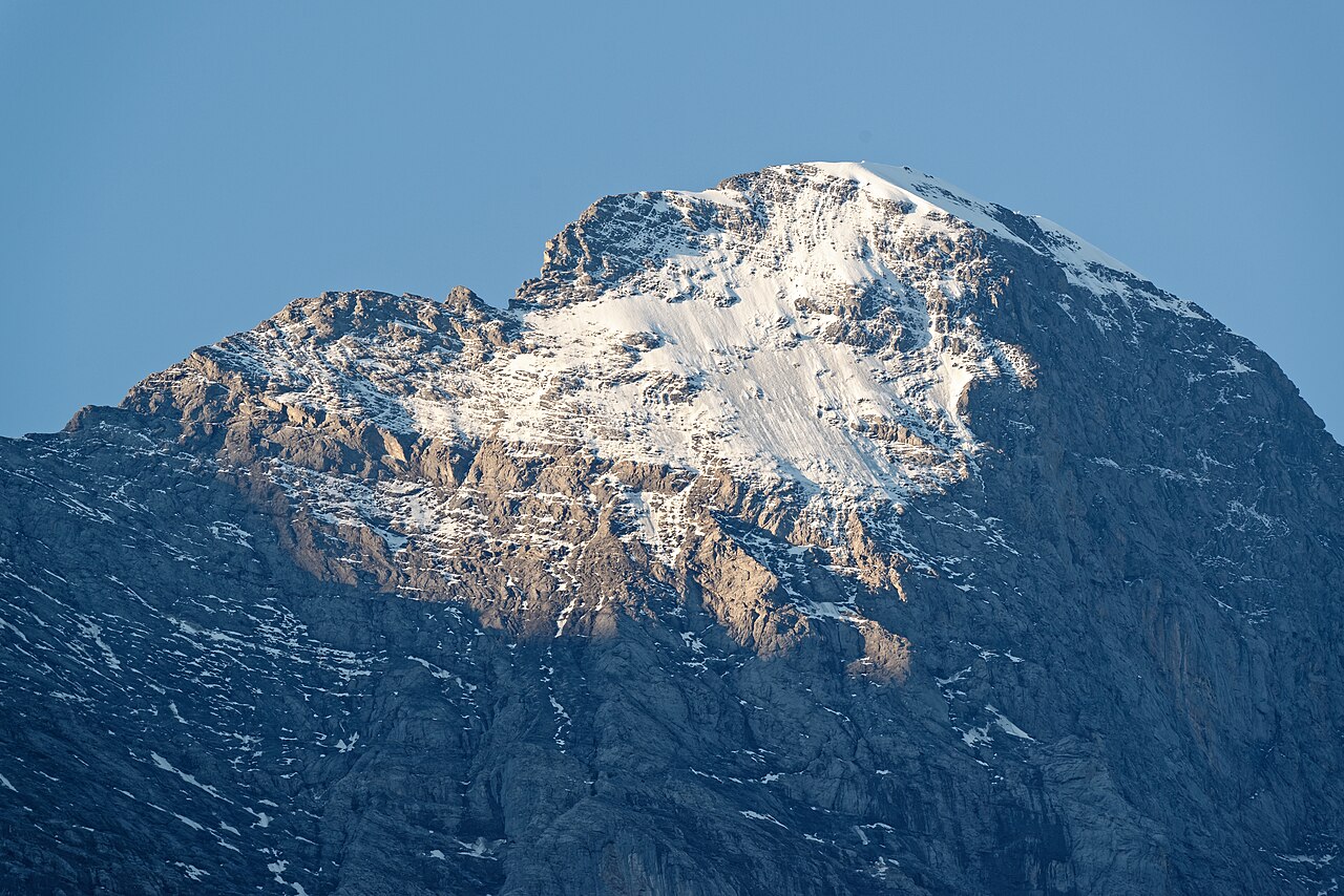
The Swiss Alpine Club cites the pronounced north face as a defining feature of the Eiger. The flank drops in an almost vertical sweep toward the valley side, forming a topographic phenomenon in its own right within the Bernese Alps. Grindelwald Tourismus puts the wall height at more than 1,800 m; swisstopo gives the summit coordinates as 46.577606° N / 8.005286° E and assigns it administratively to the municipality of Grindelwald BE.
Several routes lead through the north face, as documented by both the SAC's official routes portal and Grindelwald Tourismus. Distinguishing between these ascents through the north face and reaching the summit by other flanks is essential for understanding the history of ascents, since north face climbs and summit ascents have historically to be considered separately.
The History of the North Face
The history of approaches to the north face is marked by tragedy. The attempts of 1935 and 1936 ended fatally before, on 24 July 1938, Anderl Heckmair, Ludwig Vörg, Heinrich Harrer, and Fritz Kasparek became the first rope party to climb the north face from bottom to top. The ascent took more than three days — a measure of time that illustrates the character of this early undertaking.
The immediate reception in Switzerland was muted. The Swiss Alpine Club's journal remained silent in 1938 about the first ascent, as the SAC archive records. It was not until the 1960s that the association's attitude began to shift. This reception history is a chapter in its own right within alpine cultural history and cannot be reduced to a simple record list.
Alpine Significance and Perception
The Eiger stands as an exemplar of a phase in alpinism in which the great north faces of the Alps became the measure of technical and mental ability. The Eiger's north face became a symbol that penetrated cultural consciousness in the twentieth century far beyond the world of alpinism — not least through the deaths associated with it and the public controversy it provoked.
The SAC today documents the Eiger on its routes portal under the category Alpine Tour. The shift in institutional perception — from the journal's initial silence to later recognition — reflects a broader change within the alpine community that unfolded over several decades.
Geographic Context
The Eiger lies in the heart of the Bernese Alps, a mountain range characterised by dense summits and extensive glaciation. Grindelwald, as the nearest settlement, forms the historical and logistical reference point for approaching the mountain. The municipality has actively documented the history of the north face and preserved it as part of its regional memory.
The official survey by swisstopo gives the summit at 3,967 m, a figure also adopted by the SAC on its routes portal. Discrepancies between different sources are not unusual for alpine summits; for the Eiger, the swisstopo figure is the authoritative official measurement.