
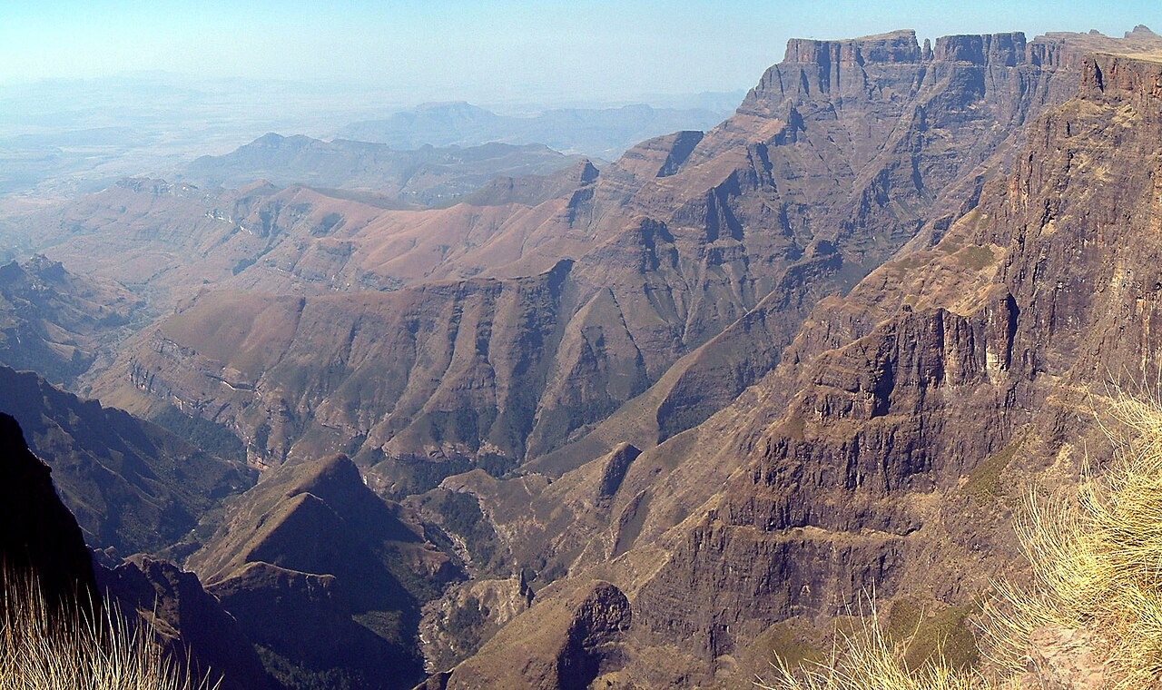
Basalt Over Sandstone: The Amphitheatre's Layered Profile
The Maloti–Drakensberg range, inscribed as a UNESCO World Heritage Site in 2000, shows a layered cliff profile in which basaltic rock sits above older sandstone formations. Eastern Buttress shares this regional geology, and the vertical clefts visible in the buttress face reflect the weathering pattern common across the escarpment.
Photographic Record and the 1914 Access Road
The journal Natalia reproduces an archival photograph of Eastern Buttress and Devil's Tooth credited to Malcolm Pearse, placing the formation within the early documentary record of Royal Natal. Government railway photographers were active in the area before the first road reached the park. A rough road from Bergville was completed in 1914, adding a further route for visitors and generating additional visual records held in archival collections.
Summit Invertebrate Survey
Armstrong and Brand, writing in Koedoe in 2012, reported fieldwork conducted in early summer 2005 across one 50 by 50 metre plot on each of six Drakensberg peaks. The Eastern Buttress plot returned four species among the sampled groups, and the authors considered cool damp conditions a possible influence on the results. Alpine grasses were predominant on the summit in the accompanying vegetation survey.