
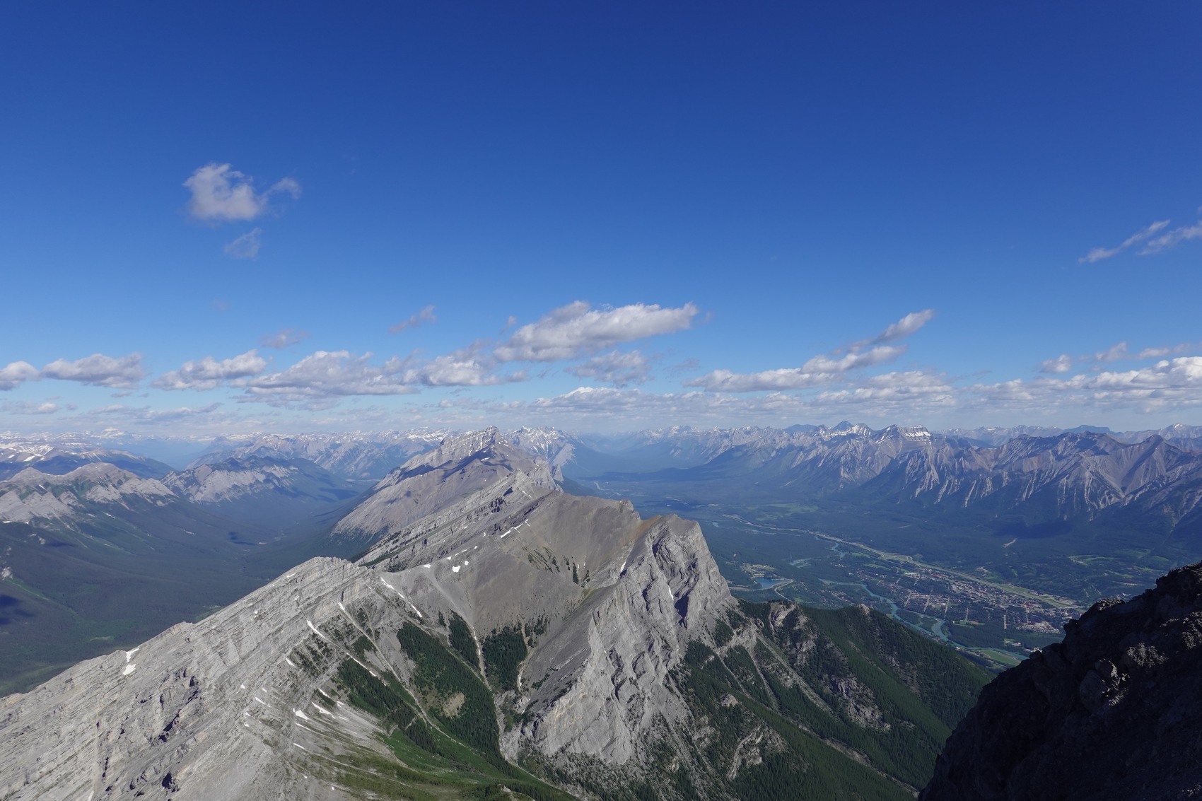
Rock Layers Above Canmore
The cliff face reveals a vertical sequence of formations. At its base, layered Devonian Fairholme carbonates give way upward to massive Palliser limestone, which forms the main wall. Near the summit, calcareous shale of the Carboniferous Banff Formation appears. Geologist Grant Mossop identified these units in a 2006 publication, examining the face from the Bow Valley.
Ice and Mixed Routes
In November 2002, Ben Firth and Jeff Honig made a ground-up ascent of the face, naming their route Balzout. They began on seven pitches of the existing summer rock route Balzac before continuing on thin ice higher up. Mixed climbing combines moves on bare rock with sections of ice. In March 2005, Barry Blanchard, Sean Easton and Steve House climbed a winter variant of the route Dropout over two days.
Avalanche Record
On 1 February 1991, a natural avalanche descended the slopes above Highway 742 and swept a parked pickup truck from the road, damaging a guardrail. The occupants had left the vehicle in time and escaped injury. Reports from 2009 and 2017 document the mapped upper source areas and how the Parks Division cross-checks visual inspections of the avalanche terrain with temperature and wind data from a nearby weather station.