
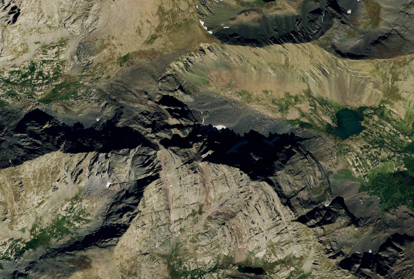
A 1916 traverse and the surviving record
Joseph D. Kramarsic's comparison of Albert Ellingwood's 1916 diary with his June 1925 Trail and Timberline account places Ellingwood, Eleanor Davis, Frances "Bee" Rogers, and Joseph Deutschbein on the northeast, west, and east summits on 24 July 1916. The reconstruction shows the diary labels the east summit "middle needle." The party left a cairn there before continuing toward the separate Crestone Needle.
Paired ground measurements establish a margin
Differential GNSS measurements on 5 October 2025 by Eric Gilbertson and colleagues placed East Crestone at 14,299.3 feet (4,358.4 m) and western Crestone Peak at 14,299.0 feet, a difference of roughly 9 centimetres. A repeat campaign in June 2026 confirmed the east summit was higher by 0.4 foot plus or minus 0.1 foot, approximately 12 centimetres with 3-centimetre uncertainty. Both campaigns agreed in direction and magnitude where prior LiDAR elevation estimates for each summit had fallen within their own measurement uncertainties.
What the difference means for summit lists
The full 14er convention combines a 14,000-foot elevation threshold with 300 feet (roughly 91 metres) of topographic prominence, the minimum descent required to reach higher ground. Both summits of the Crestone Peak massif exceed 14,000 feet, and their connecting saddle is shallower than 300 feet of descent, so the convention assigns the massif's full prominence to whichever summit stands higher. Ground survey established that point as the east summit, and Peakbagger has adopted that assignment.