
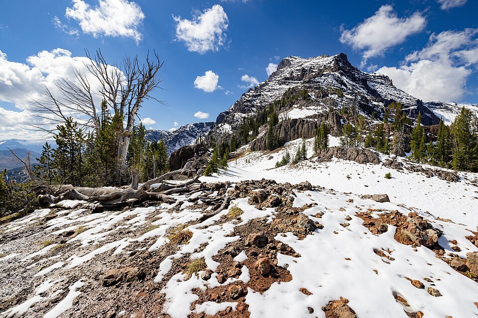
Position and Terrain
Eagle Peak stands on the park's eastern boundary within the Absaroka Range, a chain built from Eocene volcanic activity distinct from the younger Yellowstone Caldera to the west. The summit marks the highest elevation inside the park at 11,358 feet, as stated in the current National Park Service handbook.
Two Ocean Formation
The NPS stratotype survey records the Two Ocean Formation in the Eagle Peak region, where the unit reaches approximately 610 meters of thickness. This formation belongs to the older Eocene volcanic sequence of the Absaroka Range and represents one documented layer in the area's deep geologic record.
Documentary Record
Photographs from the NPS collection dated 1963 and 1967 document the peak's appearance from multiple vantage points, including a view taken from neighboring Colter Peak. These images preserve a mid-twentieth-century visual record of the landscape on Yellowstone's southeastern margin.