
Structure and Geology
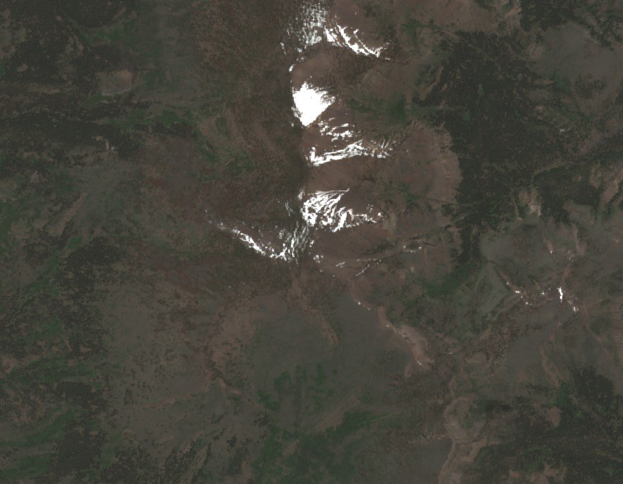
The Warner Mountains form an uplifted fault block standing beside Surprise Valley, a down-dropped basin to the east. USGS documentation describes sedimentary and volcanic layers that tilt across the range, with Eagle Peak positioned high on the crest. The geology reflects block-faulting tectonics rather than recent volcanic activity, and the peak should not be characterized as a modern volcanic cone.
Summit Vegetation
Field surveys conducted by the California Native Plant Society document whitebark pine occurring near high Warner summits, including the Eagle Peak area. Whitebark pine is a subalpine species typically found near treeline; its presence at Warner summits places these peaks among a limited set of California locations where the species has been recorded.
Conservation Designation
The South Warner Primitive Area was established in 1931, making it one of the earlier administrative designations of its kind in California. That area was subsequently designated as wilderness under the 1964 Wilderness Act, formally protecting the high-elevation terrain in which Eagle Peak stands. These two designations represent distinct administrative actions separated by more than three decades.