
Ice and bedrock
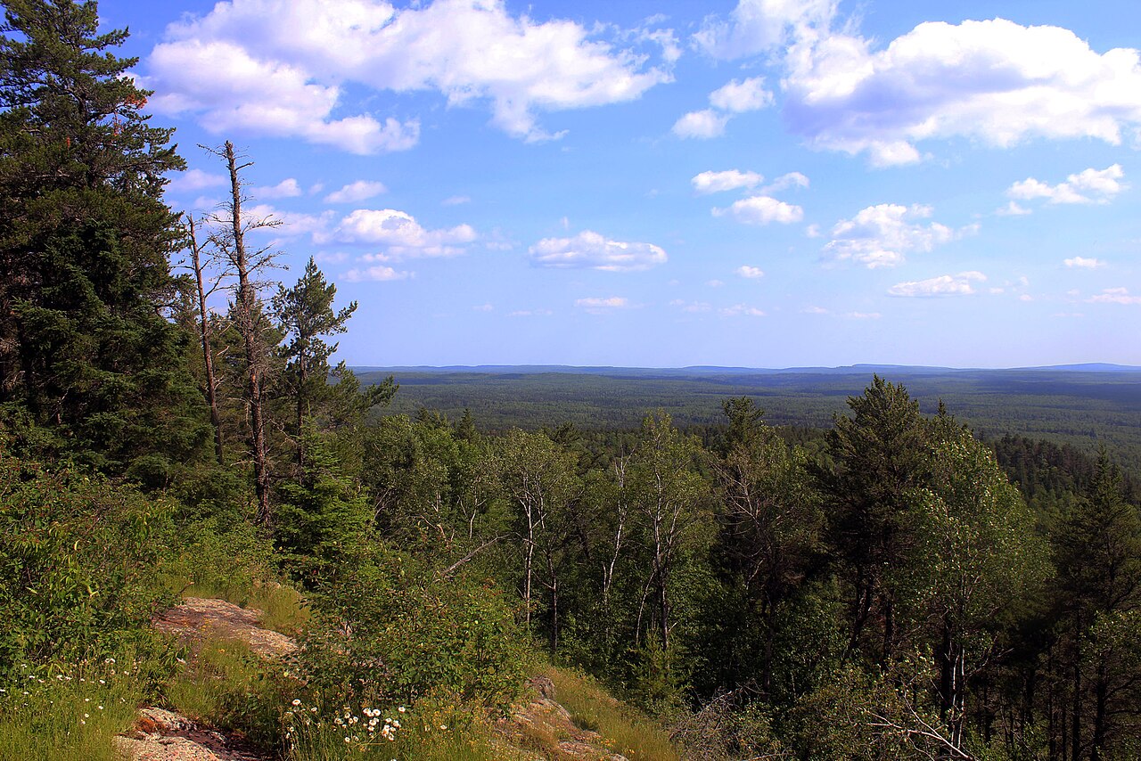
From the summit rock, the forest stretches over low, rolling ridges. Across this part of Minnesota, glaciers moving from west to east deepened existing river valleys in the bedrock. Long lakes now fill many of those valleys. Only a thin layer of glacial deposits covers much of the upland, and exposed rock is common.
The survey that moved the high point
An earlier survey had identified another point in the Misquah Hills as Minnesota’s highest. In 1961 a federal team used aerial photographs and fixed survey benchmarks and found Eagle Mountain higher. A plaque the Minnesota Historical Society put at the summit in 1989 records that change.
The Boundary Waters
Eagle Mountain lies within the Boundary Waters Canoe Area Wilderness. On 21 October 1978, Congress passed a law expanding the wilderness to protect a connected landscape of lakes, waterways and forest. The wooded hills in the summit photograph are part of that landscape.