
Geology and Landforms
The Wallowa batholith is granodioritic rock that formed underground and was later unroofed by erosion. Former glaciers then cut into the hard granite, carving the basins that now hold Glacier Lake and Moccasin Lake, both mapped by federal and state agencies. A 1965 Oregon State Game Commission survey recorded late-season snow and ice persisting near Glacier Lake.
Summit and Neighbors
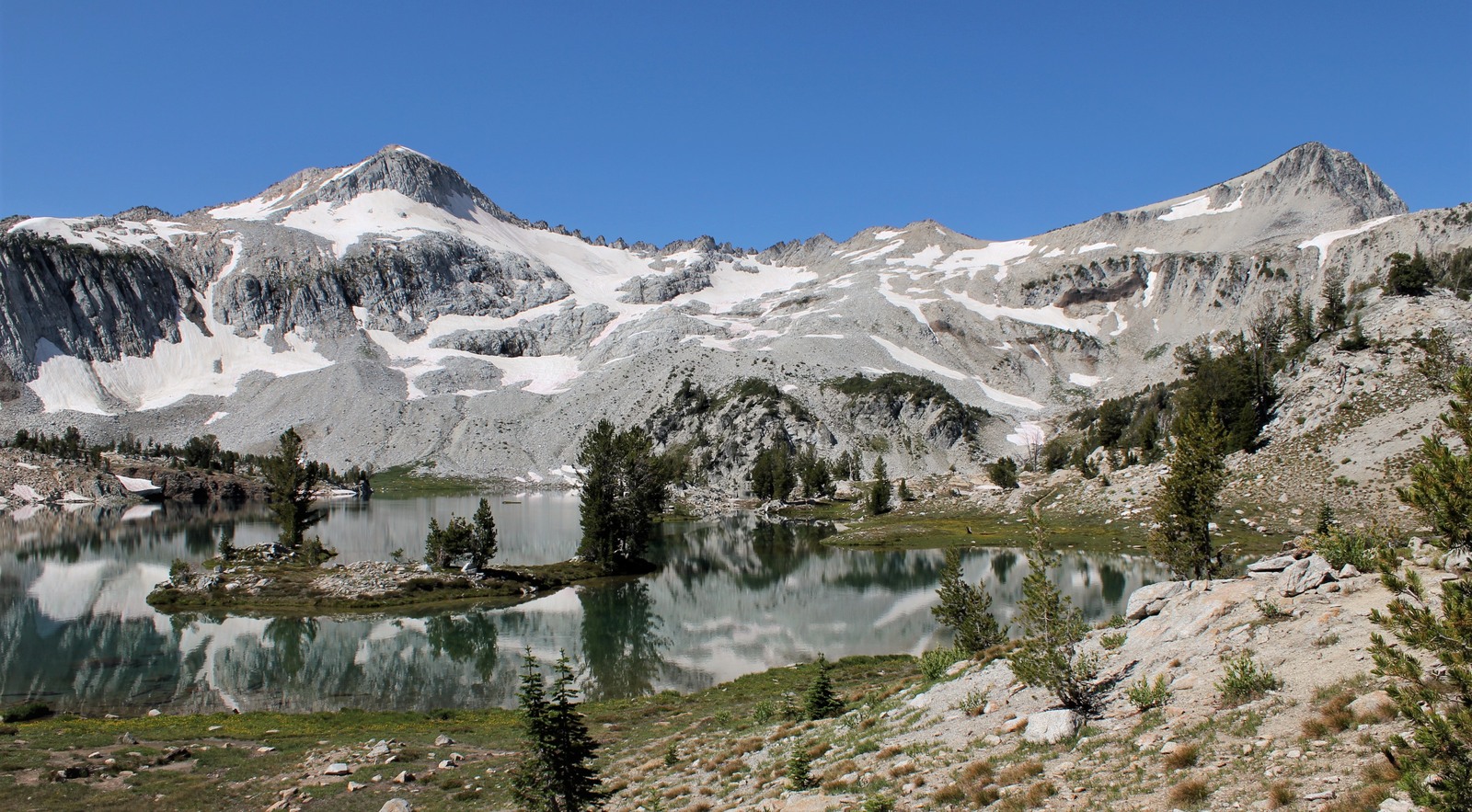
Eagle Cap's elevation is approximately 2,920 m. In a U.S. Forest Service photograph taken in August 2012, Eagle Cap appears at right and the distinct neighboring high point, Glacier Peak, appears at left above Glacier Lake.
Naming and Designation
An Oregon Historical Society document preserves a retrospective recollection in which V. I. Calvin suggested the name "Eagle Cap" to Forest Service mapmaker Clarke. Congress placed the surrounding area under the Wilderness Act in 1964, creating the Eagle Cap Wilderness.