
Terrain and Structure
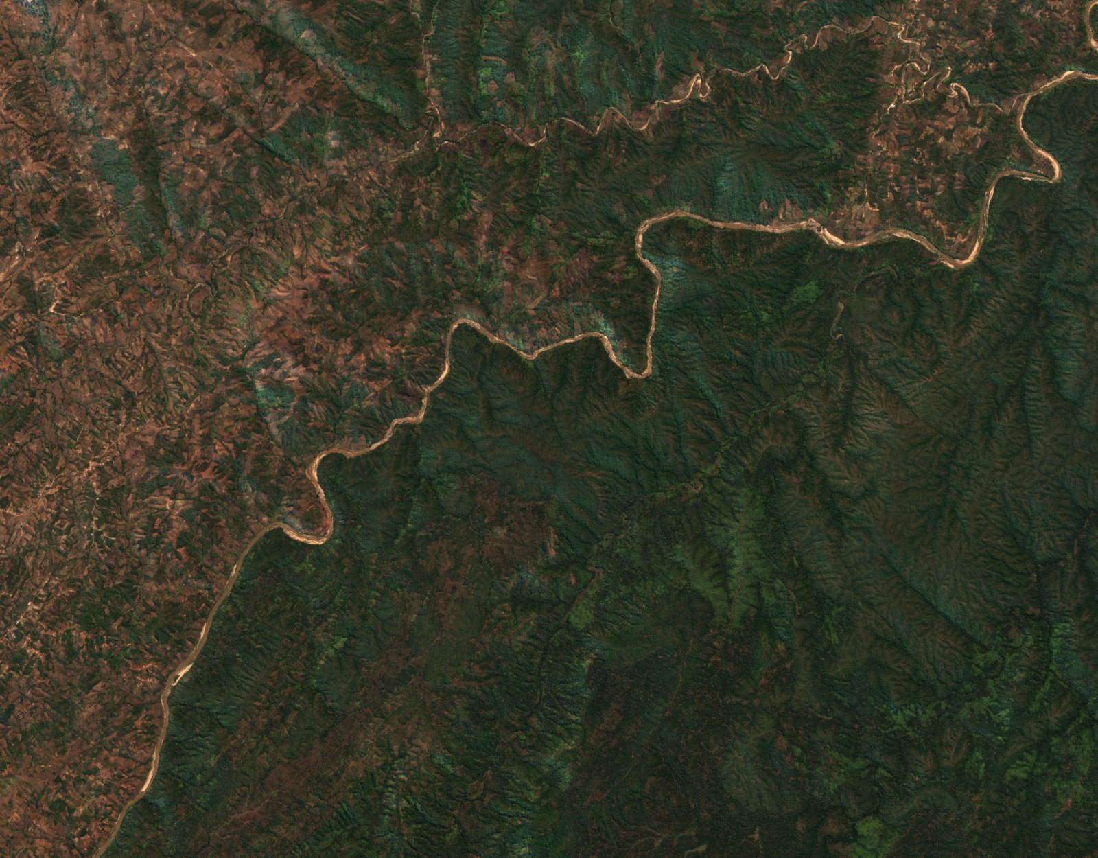
The Kasungu Plain stands at roughly 915–1,220 m and gives way eastward to increasingly incised terrain, where scarp foothills measure approximately 580–760 m and relief in the northeast of the mapped scarp zone exceeds 300 m. The Dwangwa River follows a general northeasterly course through a broad, branching upper catchment before steepening sharply at the rift margin, cutting a deep gorge into the escarpment. The tributaries Pwazi, Mlozi, Kangwa, and Lilavwa run as similarly incised channels. Rifting formed the trough that holds Lake Malawi and set the structural conditions for the escarpment itself.
Kemp's survey identified several hilltops of comparable elevation — among them Dowerampuno, Mphalapala, and Champoyo — as possible remnants of an older erosion surface.
Conservation and the Wildlife Reserve
The Dwangwa River marks part of the northern boundary of Nkhotakota Wildlife Reserve as it passes through the escarpment zone. In 2015 the Malawi government signed a 20-year management agreement with African Parks for Nkhotakota. African Parks' 2017 annual report documents the translocation of 486 elephants into Nkhotakota in 2016–17, moved from Liwonde and Majete reserves.
Measuring the Watershed
A 2024 peer-reviewed study analyzed hydro-climate variability in the Dwangwa River basin using rainfall observations spanning 1985–2015 from four rain stations alongside available streamflow records from the Khwengwere and Dwangwa S53 gauges. The downstream station had no observations in 1985, and the authors excluded later years with prolonged gaps. The study examined the influence of the Indian Ocean Dipole on seasonal rainfall and discharge patterns in the watershed.
A natural-color Copernicus Sentinel-2 scene captured on 16 July 2026 shows the Dwangwa corridor north of the Nkhotakota district seat, where large meanders trace a southwest-to-northeast path through wooded ridges — a river course distinct from the lakeshore settlement that shares the Dwangwa name.