
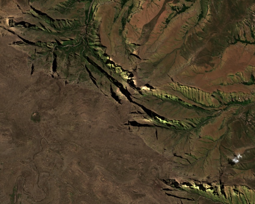
Inner Tower and the Gap from the Main Plateau
Inner Tower stands apart from the main Drakensberg plateau by a pronounced gap, with steep-sided gullies isolating it from adjacent formations. The 1930 Alpine Journal report describes this gap as lying between Inner Tower and the main plateau. A party led by Topp was first reported to have ascended to the gap, and H. A. Liddle used the section between the gap and the plateau on a descent made in the course of his Inner Tower ascent.
Inner Tower and Its Gully as Mapped Isolated Features
The Royal Natal 1:50000 topographic field map marks Inner Tower Gully and Toothpick as separate named features. A 2019 Bothalia overview photograph depicts distinct rock formations near the gully, applying the name Inner Buttress to one of them. That caption does not establish exact identity with Inner Tower. The map records the tower and its gully as isolated features within the escarpment.
Rocky Ravine Vegetation and the 1963 Esterhuysen Voucher
Moist gullies on Inner Tower support vascular plant communities found in high-altitude Drakensberg rocky habitats. A 1963 specimen collection by Esterhuysen, documented in Bothalia, provides a vouchered botanical record from the ravines below the tower, including Selaginella material that adds to the documented flora of this formation.