
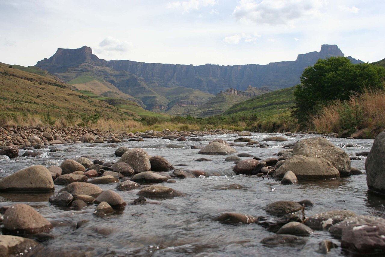
Tugela River and the Escarpment Face
The Tugela River rises on the high plateau near Mont-aux-Sources and drops over the escarpment edge in a series of falls visible from the valley. Mont-aux-Sources functions as a major upland catchment feeding several river systems, and the Tugela's descent down the cliff face is one of the most photographed features of the Royal Natal landscape.
Maloti-Drakensberg World Heritage Designation
The Amphitheatre falls within the northern uKhahlamba-Drakensberg section of the Maloti-Drakensberg transboundary World Heritage property. South Africa's portion received inscription in 2000, and Lesotho's contiguous Maloti Mountain extension was added in 2013. The property is recognised for both its outstanding natural values and its concentration of San rock art.
Planning Context under the Okhahlamba Municipality
The surrounding area falls under the Okhahlamba Local Municipality, whose Integrated Development Plan addresses infrastructure and conservation management across the uThukela district. The KwaZulu-Natal Department of Economic Development, Tourism and Environmental Affairs has identified the Amphitheatre corridor within its uThukela District Tourism Development Strategy as a focal area for heritage-based visitor engagement.