
Across the Balfour Range
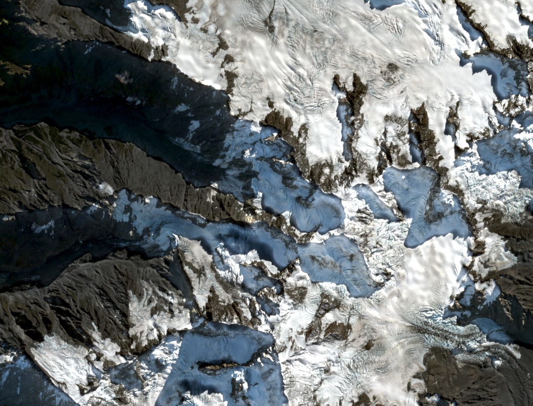
The Balfour Range groups Drake with Magellan, Vanguard, and Kupe above the Balfour Glacier basin. A Sentinel-2 image from 25 April 2025 shows Drake just below image centre, the surrounding terrain showing bare ridges between steep fields of snow and ice. The New Zealand Alpine Club identifies the south face as the line of the first ascent. It follows the snow ridge above the face.
In January 1960, Jim Board and Anthony Evans planned a Main Divide expedition on the Mount Tasman–Aoraki route and described an intended detour west over Magellan and Drake. A Canadian Alpine Journal account from that year traces the proposed detour on a hand-drawn map and describes the connecting ridge as unclimbed at the time.
Climbing History on the Northwest Face
Paul Aubrey and Richard Pears climbed Shogun on that face in 1981. Astrolabe followed in 1988, credited to Defourneaux, Dickson, and McDermott. In December 2018, Sooji Clarkson and James Warren repeated both Shogun and Astrolabe, as recorded in the American Alpine Journal in 2020. During the same visit, they repeated a 1995 route on Magellan’s west face.
The Balfour Glacier
In an inventory based on 2016 satellite imagery, glaciologists measured the lower Balfour Glacier at 6.7 kilometres. Cliffs almost separate this active section from the upper icefields. Ice avalanches falling from those fields still supply the glacier below.
Loose rock and sediment can cover the ice at lower elevations, where its surface can resemble the surrounding moraine.