
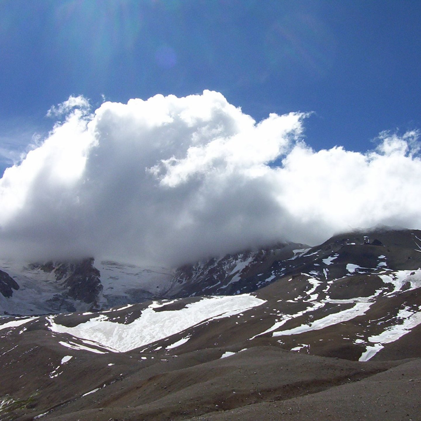
A summit shaped by folding, faulting, and intrusions
SEGEMAR describes the Domuyo summit as a complex structure resulting from the interaction between a folded basement, regional faults, and magmatic intrusions. This internal architecture conditions both the surface morphology and the behavior of the volcanic-geothermal system. Younger domes were emplaced near the main summit, among which SEGEMAR identifies Cerro Domo and Cerro Ventoso.
Geothermal field: geysers, fumaroles, and springs
The Domuyo area hosts a geothermal field with manifestations that include thermal springs, fumaroles, and geysers. SEGEMAR identifies specific sectors within this field, including El Humazo and Los Tachos.
Phreatic explosions and satellite observation
SEGEMAR has documented phreatic explosions at Domuyo in 2003, 2007, 2012, and 2018. These events are generated by the interaction of water with underground heat and do not by themselves imply the presence of recent lava. A study by Lundgren and collaborators compared temperature measurements and satellite radar data from different years, documenting a period of subsidence between 2008 and 2011 and uplift after 2014.