
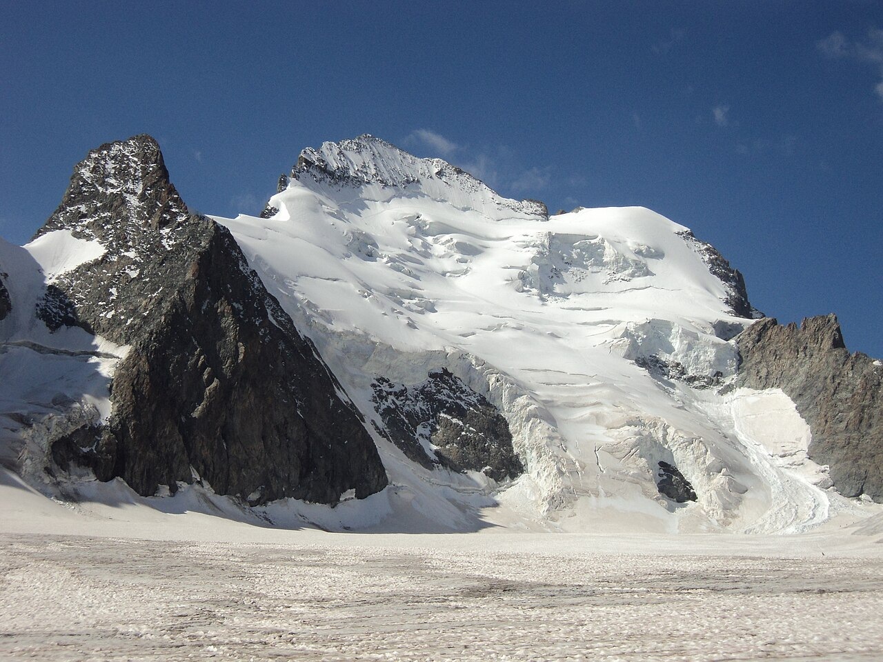
Landform and Glacier
The Dôme rises west-northwest of the Barre des Écrins as a broad, rounded snow dome at 4,015 m. The Brèche Lory is the col between the Dôme and Pic Lory, which lies in the direction of the Barre, and this gap marks the topographic separation of the two peaks. The upper slopes below the Dôme form part of the accumulation area of Glacier Blanc.
Climbing History
Emmanuel Boileau de Castelnau reached the Dôme on 21 July 1877, ascending by a steep couloir from Glacier du Vallon and returning via Col des Écrins, as Henry Duhamel recounted in 1881. In 1911, Humphrey Owen Jones reported that a party of six opened a new west-ridge route to the summit, then traversed Pic Lory and the Barre des Écrins before descending over Glacier Blanc.
Snow, Ice, and Scientific Measurement
The Parc national des Écrins and INRAE recognize the Dôme's summit as a cornice shaped by wind and snowfall, so measured point heights vary with seasonal accumulation. Field teams working on Glacier Blanc collect annual measurements of snow density and thickness across the ice body, then calculate summer melt losses to estimate water-equivalent changes over the glacier as a whole.