
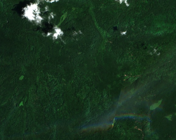
Reading the map and the sailing guide
The 1983 U.S. Geological Survey map labels Dolohmwar on the ridge south of Ngihneni. Its 10 m contours put the summit at about 760 m. Sailing Directions gives 732 m for Totolom and describes a higher peak farther north. The USGS map also shows a separate 618 m hill called Dolotomw to the southeast.
Damselflies at the forest transition
During fieldwork in 2001 and 2002, Dennis Paulson and Donald Buden found the damselfly Teinobasis ponapensis beside streams on Ngihneni and neighbouring Dolohmwar. They recorded it near mossy, fern-covered rocks where rain forest gives way to cloud forest. Their findings appeared in 2003.
Protecting the upland watershed
Pohnpei’s legislature enacted the Watershed Forest Reserve and Mangrove Protection Act in 1987. The state forestry division’s 1994 report describes about 5,100 hectares of upland forest set aside under the law. It also records how early boundary work met local resistance and how a steering committee formed in 1989 to work with municipal and traditional leaders, including communities in Kitti.